Transport Functions
Multimodal
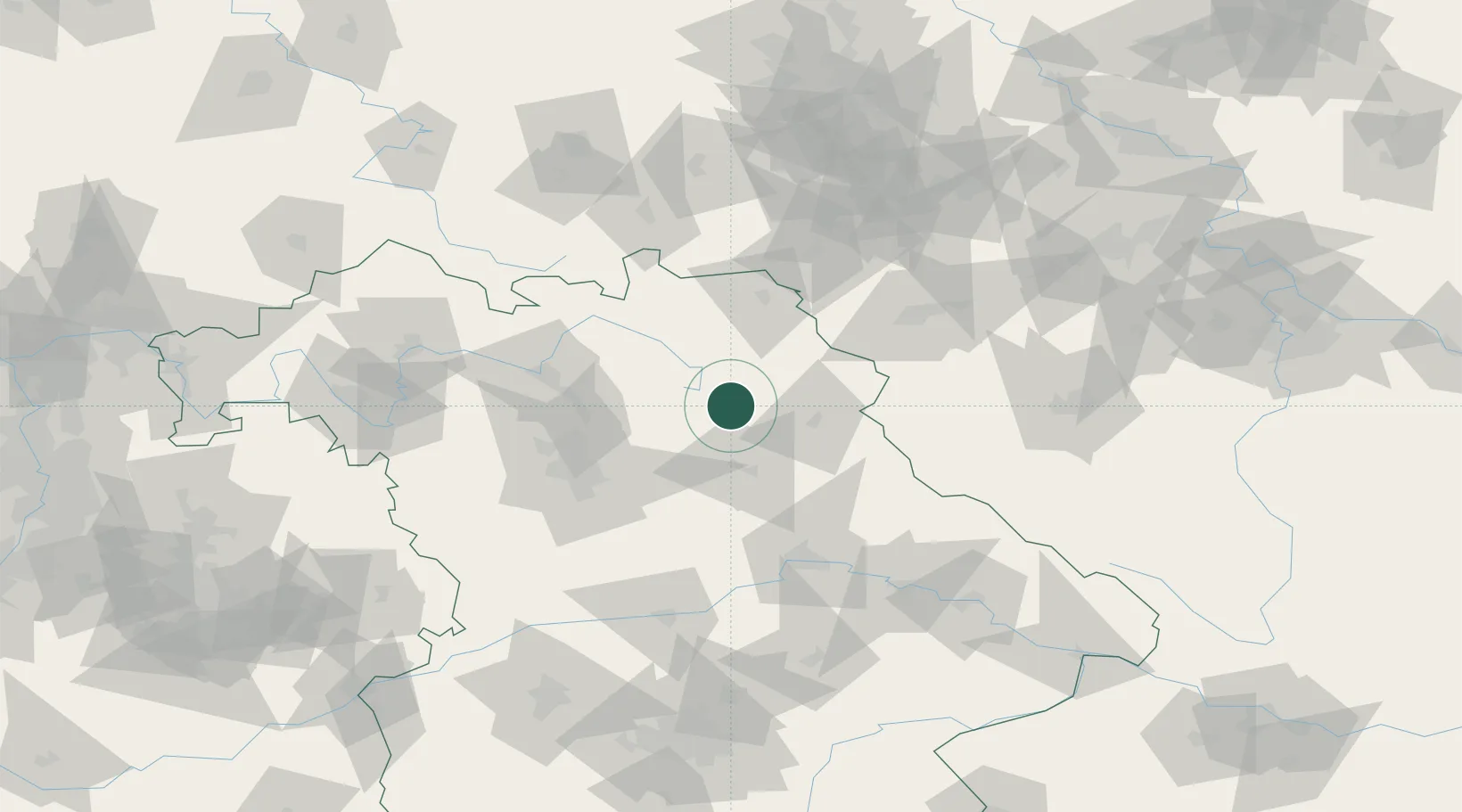
Hub Profile
Region
BY
Location
Nearby Logistics Neighbours
Cities
- 1Pressath12 km
- 2Creussen12 km
- 3Pegnitz17 km
- 4Freihung20 km
- 5Weissenberg21 km
Airports
- 1Grafenwöhr Army Air Field15 km
- 2Bayreuth Airport26 km
- 3Nuremberg Airport58 km
- 4Hof-Plauen Airport58 km
- 5Hohenfels Army Airfield61 km
Trade Zones
DatabookThe Record of Consolidated Knowledge
Germany beyond logistics?