Transport Functions
Rail
Road
Hub Profile
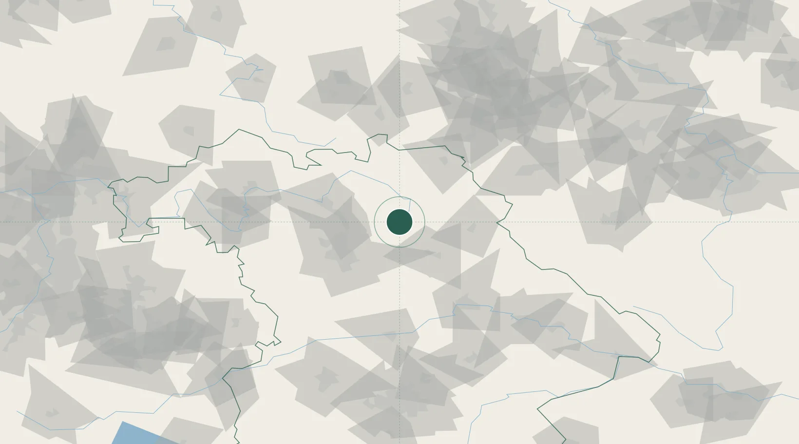
Place type
Populated place
Region
Bavaria
Population
14,279
Time zone
Europe/Berlin
Elevation
433 m
Location
Nearby Logistics Neighbours
Cities
- 1Creussen12 km
- 2Neuhaus an der Pegnitz13 km
- 3Velden15 km
- 4Hartenstein17 km
- 5Holzmühle17 km
Airports
- 1Bayreuth Airport27 km
- 2Grafenwöhr Army Air Field30 km
- 3Nuremberg Airport43 km
- 4Bamberg-Breitenau Airfield48 km
- 5Hohenfels Army Airfield63 km
Trade Zones
DatabookThe Record of Consolidated Knowledge
Germany beyond logistics?