Transport Functions
Road
Multimodal
Hub Profile
Place type
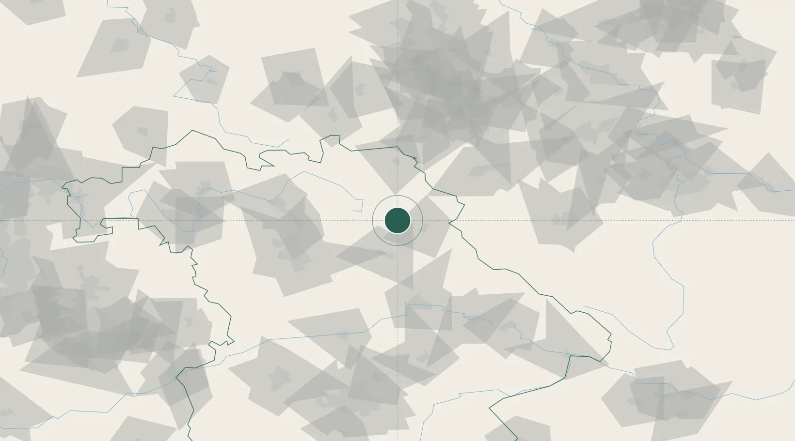
Populated place
Region
Bavaria
Population
4,654
Time zone
Europe/Berlin
Elevation
441 m
Location
Nearby Logistics Neighbours
Cities
- 1Parkstein10 km
- 2Holzmühle12 km
- 3Freihung17 km
- 4Neusorg19 km
- 5Pullenreuth19 km
Airports
- 1Grafenwöhr Army Air Field8 km
- 2Bayreuth Airport32 km
- 3Hof-Plauen Airport58 km
- 4Hohenfels Army Airfield62 km
- 5Nuremberg Airport68 km
Trade Zones
DatabookThe Record of Consolidated Knowledge
Germany beyond logistics?