Transport Functions
Rail
Road
Hub Profile
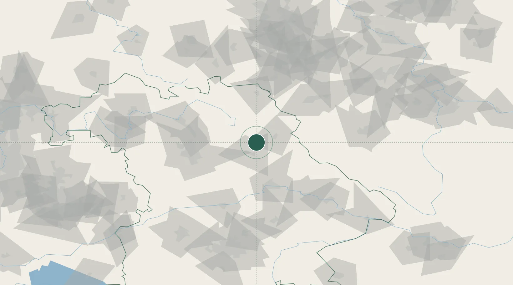
Place type
Populated place
Region
Bavaria
Population
2,610
Time zone
Europe/Berlin
Elevation
419 m
Location
Nearby Logistics Neighbours
Cities
- 1Gebenbach10 km
- 2Mausdorf12 km
- 3Weissenberg14 km
- 4Pressath17 km
- 5Moosburg17 km
Ports
- 1Nogaro439 km
- 2Monfalcone443 km
- 3Bremen448 km
- 4Grado448 km
- 5Hamburg458 km
Airports
- 1Grafenwöhr Army Air Field9 km
- 2Hohenfels Army Airfield45 km
- 3Bayreuth Airport46 km
- 4Nuremberg Airport62 km
- 5Hof-Plauen Airport75 km
Trade Zones
DatabookThe Record of Consolidated Knowledge
Germany beyond logistics?