Transport Functions
Multimodal
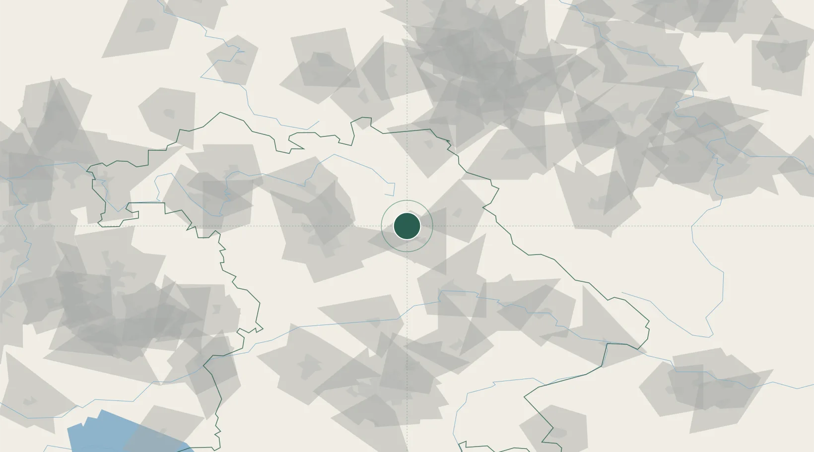
Hub Profile
Place type
Populated place
Region
Bavaria
Time zone
Europe/Berlin
Elevation
453 m
Location
Nearby Logistics Neighbours
Cities
- 1Mausdorf12 km
- 2Gebenbach12 km
- 3Freihung14 km
- 4Neuhaus an der Pegnitz14 km
- 5Weigendorf15 km
Ports
- 1Nogaro439 km
- 2Monfalcone444 km
- 3Bremen445 km
- 4Grado448 km
- 5Hamburg458 km
Airports
- 1Grafenwöhr Army Air Field20 km
- 2Hohenfels Army Airfield42 km
- 3Bayreuth Airport45 km
- 4Nuremberg Airport48 km
- 5Bamberg-Breitenau Airfield70 km
Trade Zones
DatabookThe Record of Consolidated Knowledge
Germany beyond logistics?