Transport Functions
Rail
Road
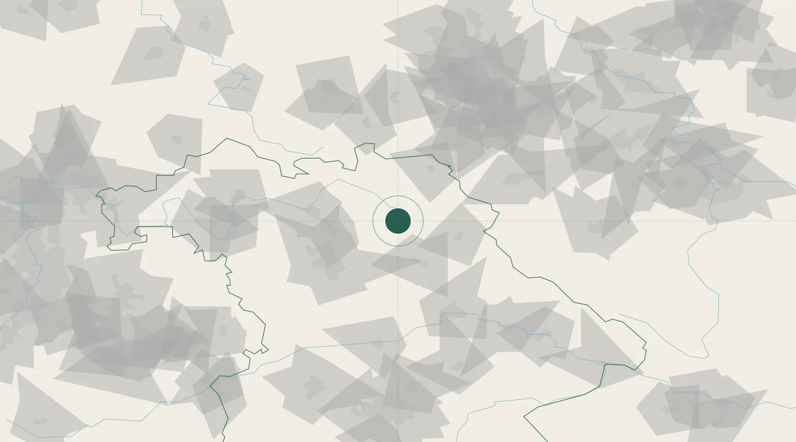
Hub Profile
Place type
Populated place
Region
Bavaria
Population
4,871
Time zone
Europe/Berlin
Elevation
430 m
Location
Nearby Logistics Neighbours
Cities
- 1Pegnitz12 km
- 2Holzmühle12 km
- 3Heinersreuth17 km
- 4Warmensteinach20 km
- 5Goldkronach21 km
Airports
- 1Bayreuth Airport17 km
- 2Grafenwöhr Army Air Field27 km
- 3Bamberg-Breitenau Airfield52 km
- 4Hof-Plauen Airport53 km
- 5Nuremberg Airport55 km
Trade Zones
DatabookThe Record of Consolidated Knowledge
Germany beyond logistics?