Transport Functions
Port
Road
Hub Profile
Place type
Populated place
Region
Bavaria
Time zone
Europe/Berlin
Elevation
380 m
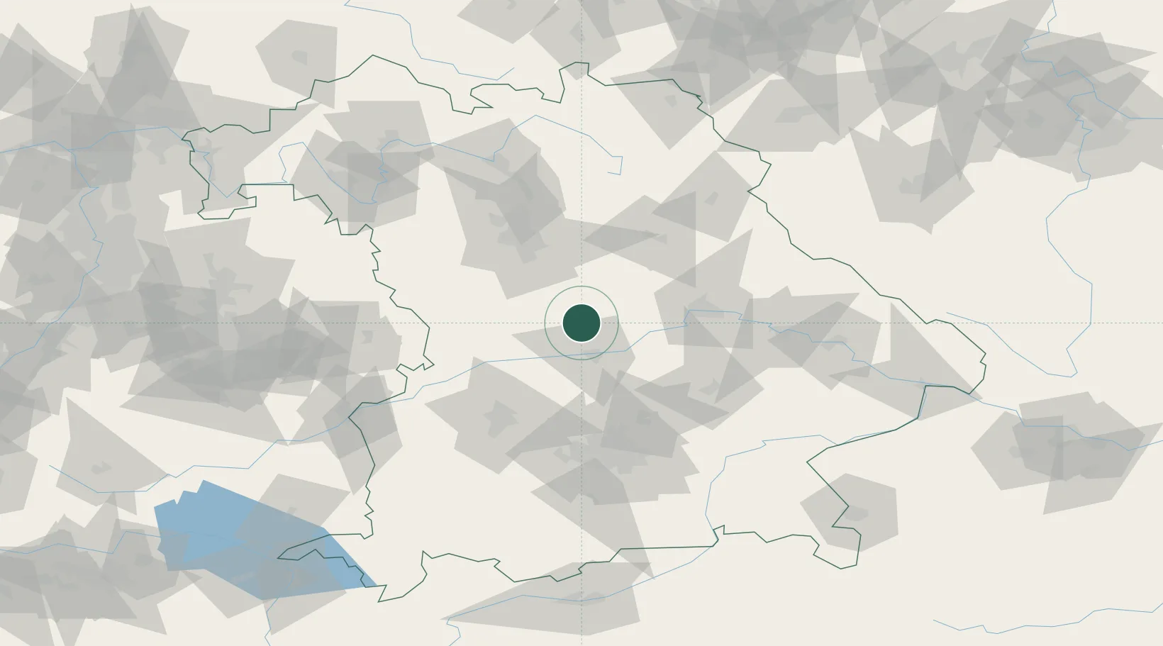
Location
Nearby Logistics Neighbours
Cities
- 1Denkendorf5 km
- 2Petersbuch15 km
- 3Eitensheim16 km
- 4Eichstätt16 km
- 5Workerszell17 km
Ports
- 1Nogaro379 km
- 2Monfalcone388 km
- 3Grado389 km
- 4Porto Di Lido-Venezia401 km
- 5Trieste408 km
Airports
- 1Ingolstadt Manching Airport28 km
- 2Neuburg Air Base29 km
- 3Hohenfels Army Airfield44 km
- 4Nuremberg Airport65 km
- 5Augsburg Airport67 km
Trade Zones
- 1Freeport of Deggendorf112 km
- 2Podbořany Industrial Zone204 km
- 3Žatec - Triangle Strategic Industrial Zone223 km
- 4Most - Joseph Industrial Zone236 km
- 5ZFU Neuhof269 km
DatabookThe Record of Consolidated Knowledge
Germany beyond logistics?