Transport Functions
Rail
Road
Hub Profile
Place type
Populated place
Region
Thuringia
Time zone
Europe/Berlin
Elevation
219 m
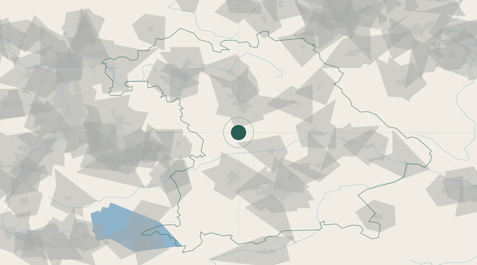
Location
Nearby Logistics Neighbours
Cities
- 1Weissenburg in Bayern1 km
- 2Höttingen4 km
- 3Bubenheim9 km
- 4Lengenfeld9 km
- 5Petersbuch16 km
Ports
- 1Nogaro399 km
- 2Monfalcone410 km
- 3Grado410 km
- 4Porto Di Lido-Venezia417 km
- 5Trieste430 km
Airports
- 1Neuburg Air Base40 km
- 2Nuremberg Airport52 km
- 3Ingolstadt Manching Airport54 km
- 4Hohenfels Army Airfield65 km
- 5Augsburg Airport68 km
Trade Zones
- 1Freeport of Deggendorf142 km
- 2Podbořany Industrial Zone219 km
- 3Žatec - Triangle Strategic Industrial Zone237 km
- 4ZFU Neuhof242 km
- 5ZFU Hautepierre246 km
DatabookThe Record of Consolidated Knowledge
Germany beyond logistics?