UN/LOCODE hub · Germany
DEZJA

Weigendorf

48.6000°, 12.4333°
1
Transport functions

Transport Functions

Multimodal
UN/LOCODE

Hub Profile

Place type
Populated place
GeoNames
Region
Bavaria
GeoNames
Time zone
Europe/Berlin
GeoNames
Elevation
420 m
GeoNames

Location

Location of DEZJA
Natural Earth 10m (public domain) · Bavaria · DEZJA · 48.60, 12.43GoogleOSMYandex

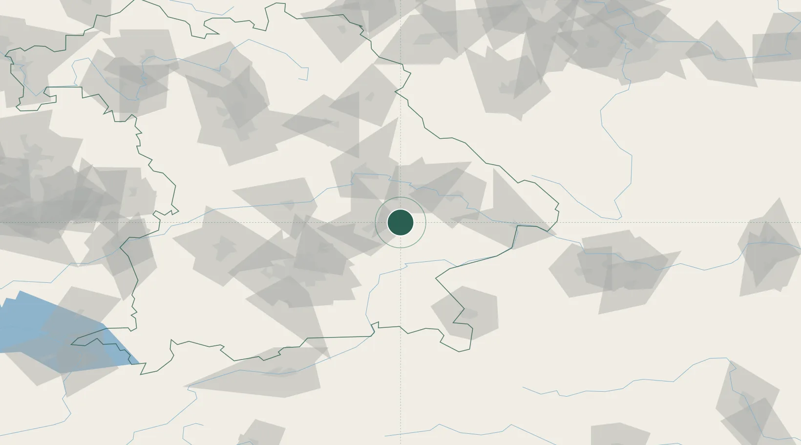
Nearby Logistics Neighbours

Cities
  1. 1Loiching2 km
  2. 2Wörth an der Isar6 km
  3. 3Gottfrieding9 km
  4. 4Frontenhausen9 km
  5. 5Blumberg12 km
Nearest neighbours — logibook spatial index (haversine) over the source coordinates
Ports
  1. 1Nogaro321 km
  2. 2Monfalcone324 km
  3. 3Grado329 km
  4. 4Trieste343 km
  5. 5Muggia349 km
Nearest neighbours — logibook spatial index (haversine) over the source coordinates
Airports
  1. 1Landshut Airfield31 km
  2. 2Munich Airport55 km
  3. 3Ingolstadt Manching Airport67 km
  4. 4Hohenfels Army Airfield81 km
  5. 5Neuburg Air Base91 km
Nearest neighbours — logibook spatial index (haversine) over the source coordinates
Trade Zones
  1. 1Freeport of Deggendorf44 km
  2. 2Podbořany Industrial Zone194 km
  3. 3Žatec - Triangle Strategic Industrial Zone215 km
  4. 4Most - Joseph Industrial Zone227 km
  5. 5Světlá nad Sázavou Municipal Industrial Zone247 km
Nearest neighbours — logibook spatial index (haversine) over the source coordinates
DatabookThe Record of Consolidated Knowledge
Germany beyond logistics?
Browse databook

All Sources

LocationsUN/LOCODE
UN/LOCODE — free
Portsthe NGA World Port Index
Public domain (US gov)
AirportsOurAirports
Public domain
Trade Zonesthe World Bank SEZ database
CC BY 4.0
Trade ZonesOpen Zone Map
CC BY
← Germany locations