UN/LOCODE hub · Germany
DEWZI
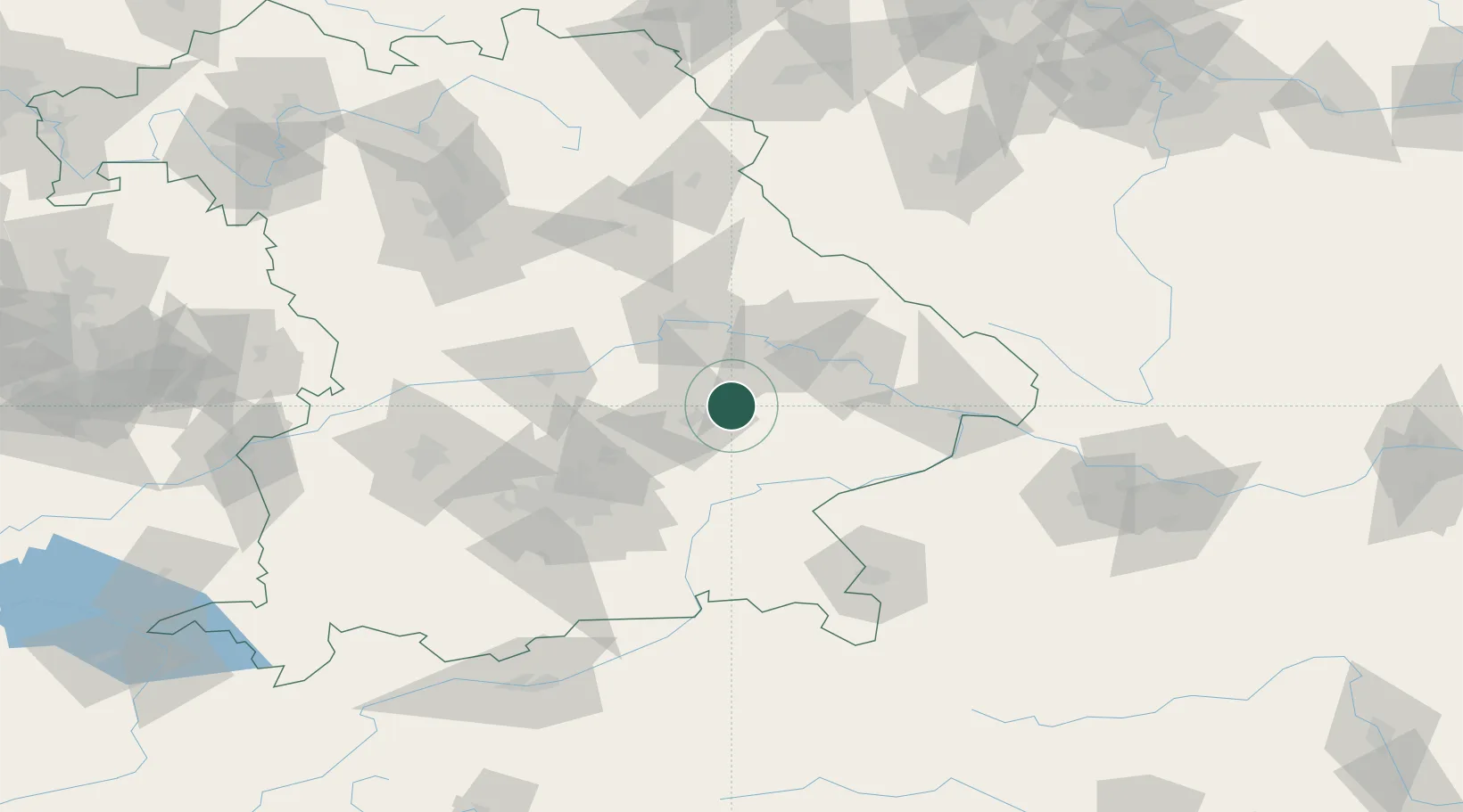
Wörth an der Isar
48.6167°, 12.3500°
2,400
Population
2
Transport functions
Transport Functions
Road
Multimodal
Hub Profile
Place type
Populated place
Region
Bavaria
Population
2,400
Time zone
Europe/Berlin
Elevation
373 m
Location
Nearby Logistics Neighbours
Cities
- 1Loiching6 km
- 2Weigendorf6 km
- 3Blumberg9 km
- 4Gottfrieding14 km
- 5Ergoldsbach14 km
Ports
- 1Nogaro324 km
- 2Monfalcone328 km
- 3Grado333 km
- 4Trieste346 km
- 5Muggia352 km
Airports
- 1Landshut Airfield26 km
- 2Munich Airport51 km
- 3Ingolstadt Manching Airport61 km
- 4Hohenfels Army Airfield77 km
- 5Neuburg Air Base84 km
Trade Zones
DatabookThe Record of Consolidated Knowledge
Germany beyond logistics?