Transport Functions
Road
Multimodal
Hub Profile
Place type
Populated place
Region
Bavaria
Population
4,430
Time zone
Europe/Berlin
Elevation
414 m
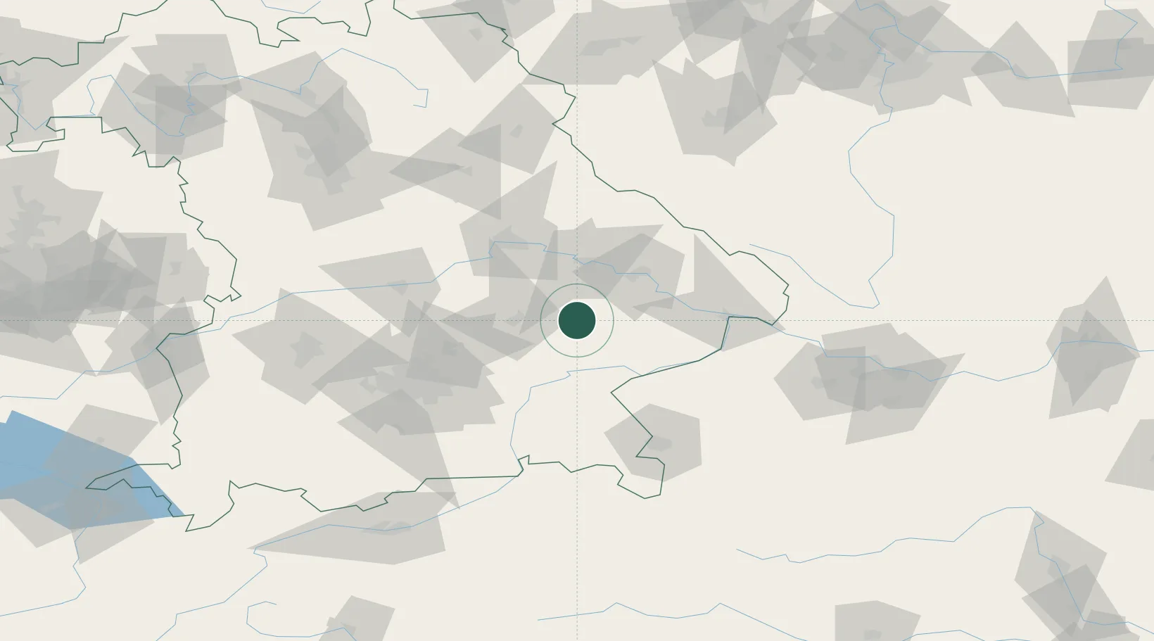
Location
Nearby Logistics Neighbours
Cities
- 1Reisbach8 km
- 2Weigendorf9 km
- 3Loiching10 km
- 4Gottfrieding11 km
- 5Mamming12 km
Ports
- 1Nogaro314 km
- 2Monfalcone317 km
- 3Grado323 km
- 4Trieste335 km
- 5Muggia341 km
Airports
- 1Landshut Airfield37 km
- 2Munich Airport59 km
- 3Ingolstadt Manching Airport76 km
- 4Hohenfels Army Airfield90 km
- 5Salzburg Airport91 km
Trade Zones
DatabookThe Record of Consolidated Knowledge
Germany beyond logistics?