Transport Functions
Multimodal
Hub Profile
Place type
Local administrative seat
Region
Bavaria
Population
3,506
Time zone
Europe/Berlin
Elevation
439 m
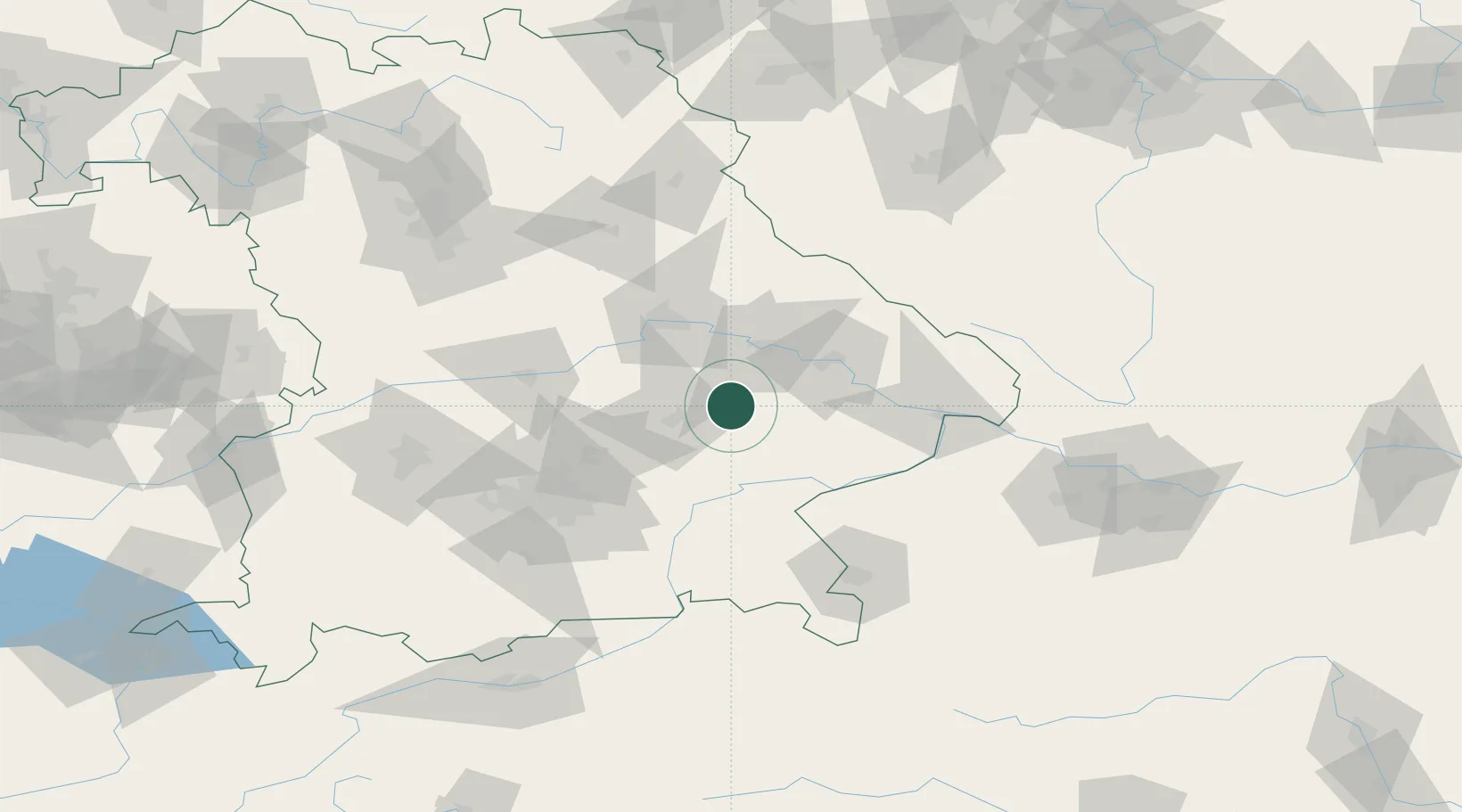
Location
Nearby Logistics Neighbours
Cities
- 1Weigendorf2 km
- 2Wörth an der Isar6 km
- 3Gottfrieding8 km
- 4Frontenhausen10 km
- 5Mamming13 km
Ports
- 1Nogaro323 km
- 2Monfalcone326 km
- 3Grado331 km
- 4Trieste344 km
- 5Muggia350 km
Airports
- 1Landshut Airfield32 km
- 2Munich Airport56 km
- 3Ingolstadt Manching Airport67 km
- 4Hohenfels Army Airfield80 km
- 5Neuburg Air Base90 km
Trade Zones
DatabookThe Record of Consolidated Knowledge
Germany beyond logistics?