UN/LOCODE hub · Germany
DEGID

Gottfrieding

48.6500°, 12.5333°
2,160
Population
1
Transport functions

Transport Functions

Multimodal
UN/LOCODE

Hub Profile

Place type
Local administrative seat
GeoNames
Region
Bavaria
GeoNames
Population
2,160
GeoNames
Time zone
Europe/Berlin
GeoNames
Elevation
360 m
GeoNames

Location

Location of DEGID
Natural Earth 10m (public domain) · Bavaria · DEGID · 48.65, 12.53GoogleOSMYandex

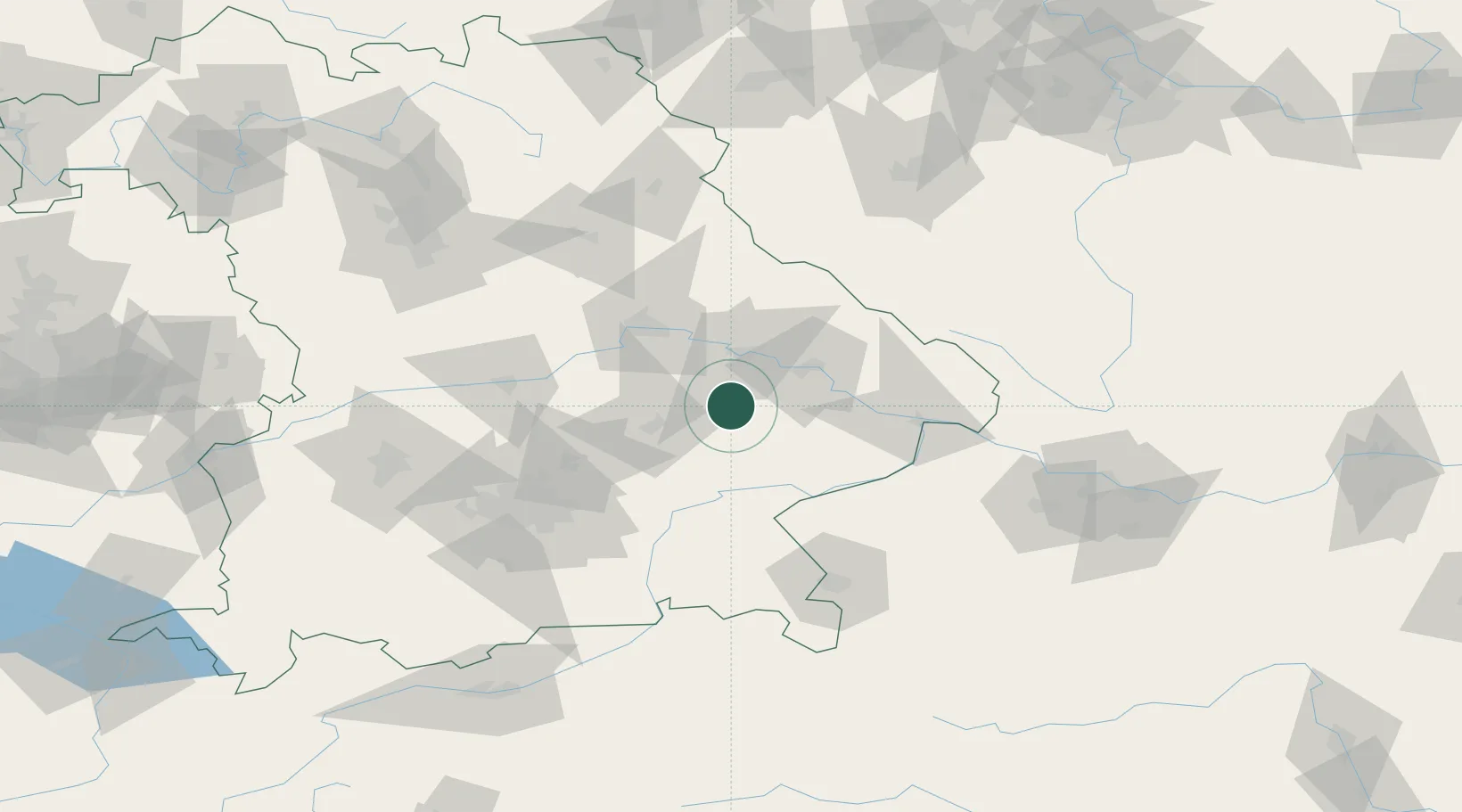
Nearby Logistics Neighbours

Cities
  1. 1Mamming5 km
  2. 2Loiching8 km
  3. 3Weigendorf9 km
  4. 4Frontenhausen11 km
  5. 5Landau an der Isar12 km
Nearest neighbours — logibook spatial index (haversine) over the source coordinates
Ports
  1. 1Nogaro325 km
  2. 2Monfalcone328 km
  3. 3Grado333 km
  4. 4Trieste346 km
  5. 5Muggia352 km
Nearest neighbours — logibook spatial index (haversine) over the source coordinates
Airports
  1. 1Landshut Airfield40 km
  2. 2Munich Airport64 km
  3. 3Ingolstadt Manching Airport74 km
  4. 4Hohenfels Army Airfield81 km
  5. 5Neuburg Air Base97 km
Nearest neighbours — logibook spatial index (haversine) over the source coordinates
Trade Zones
  1. 1Freeport of Deggendorf35 km
  2. 2Podbořany Industrial Zone186 km
  3. 3Žatec - Triangle Strategic Industrial Zone207 km
  4. 4Most - Joseph Industrial Zone219 km
  5. 5Světlá nad Sázavou Municipal Industrial Zone238 km
Nearest neighbours — logibook spatial index (haversine) over the source coordinates
DatabookThe Record of Consolidated Knowledge
Germany beyond logistics?
Browse databook

All Sources

LocationsUN/LOCODE
UN/LOCODE — free
LocationsGeoNames
CC BY 4.0
Portsthe NGA World Port Index
Public domain (US gov)
AirportsOurAirports
Public domain
Trade Zonesthe World Bank SEZ database
CC BY 4.0
Trade ZonesOpen Zone Map
CC BY
← Germany locations