Transport Functions
Road
Multimodal
Hub Profile
Place type
Populated place
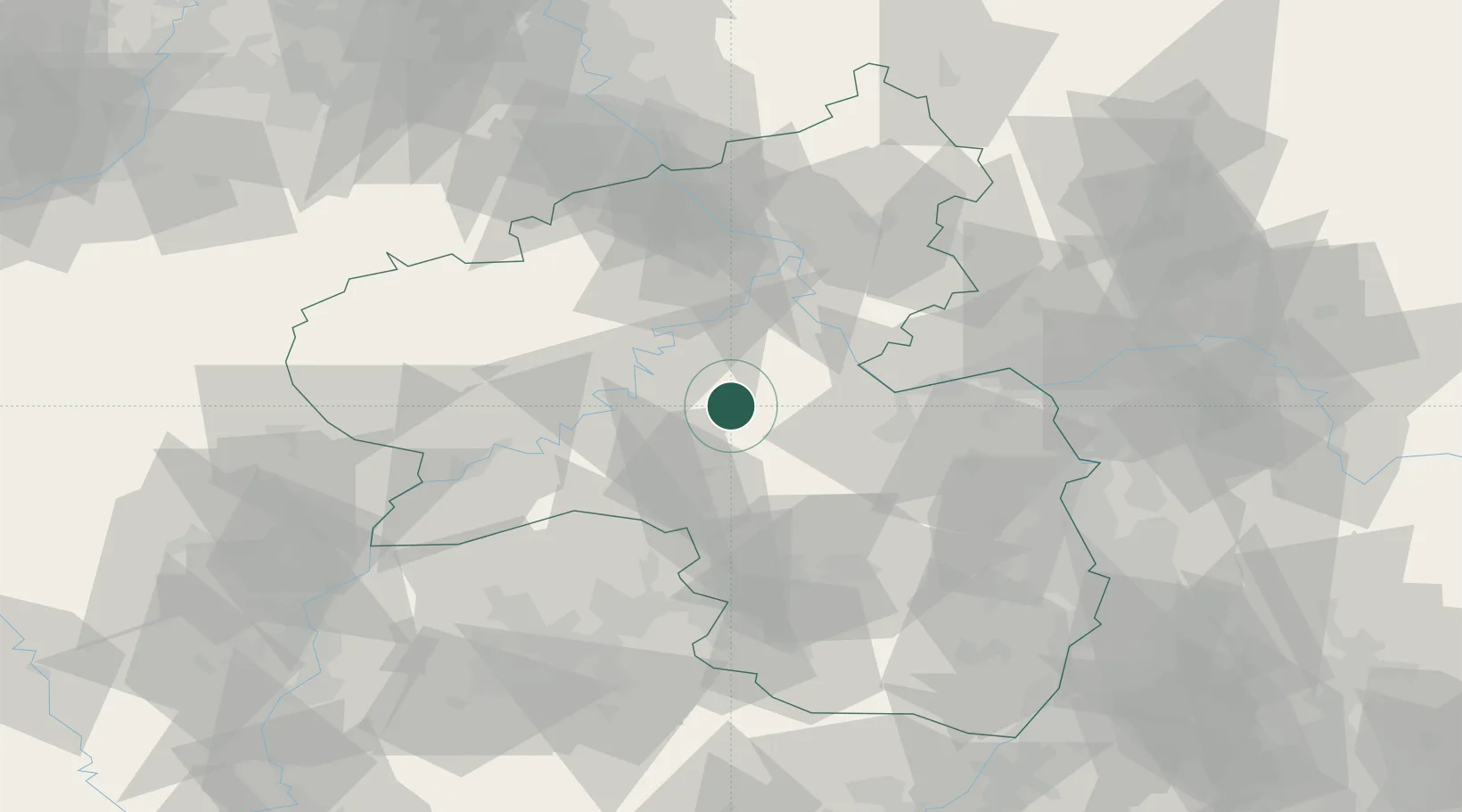
Region
Rheinland-Pfalz
Population
3,797
Time zone
Europe/Berlin
Elevation
435 m
Location
Nearby Logistics Neighbours
Cities
- 1Wüschheim8 km
- 2Simmern/Hunsrück9 km
- 3Bundenbach11 km
- 4Hottenbach13 km
- 5Niederkumbd13 km
Airports
- 1Frankfurt-Hahn Airport10 km
- 2Büchel Air Base36 km
- 3Spangdahlem Air Base50 km
- 4Mainz-Finthen Airfield54 km
- 5Ramstein Air Base57 km
Trade Zones
- 1Luxembourg Free Port91 km
- 2ZFU La Cité Behren-lès-Forbach92 km
- 3ZFU Woippy-Metz125 km
- 4ZFU Metz128 km
- 5Rheinische Revier SWZ130 km
DatabookThe Record of Consolidated Knowledge
Germany beyond logistics?