Transport Functions
Rail
Road
Hub Profile
Region
RP
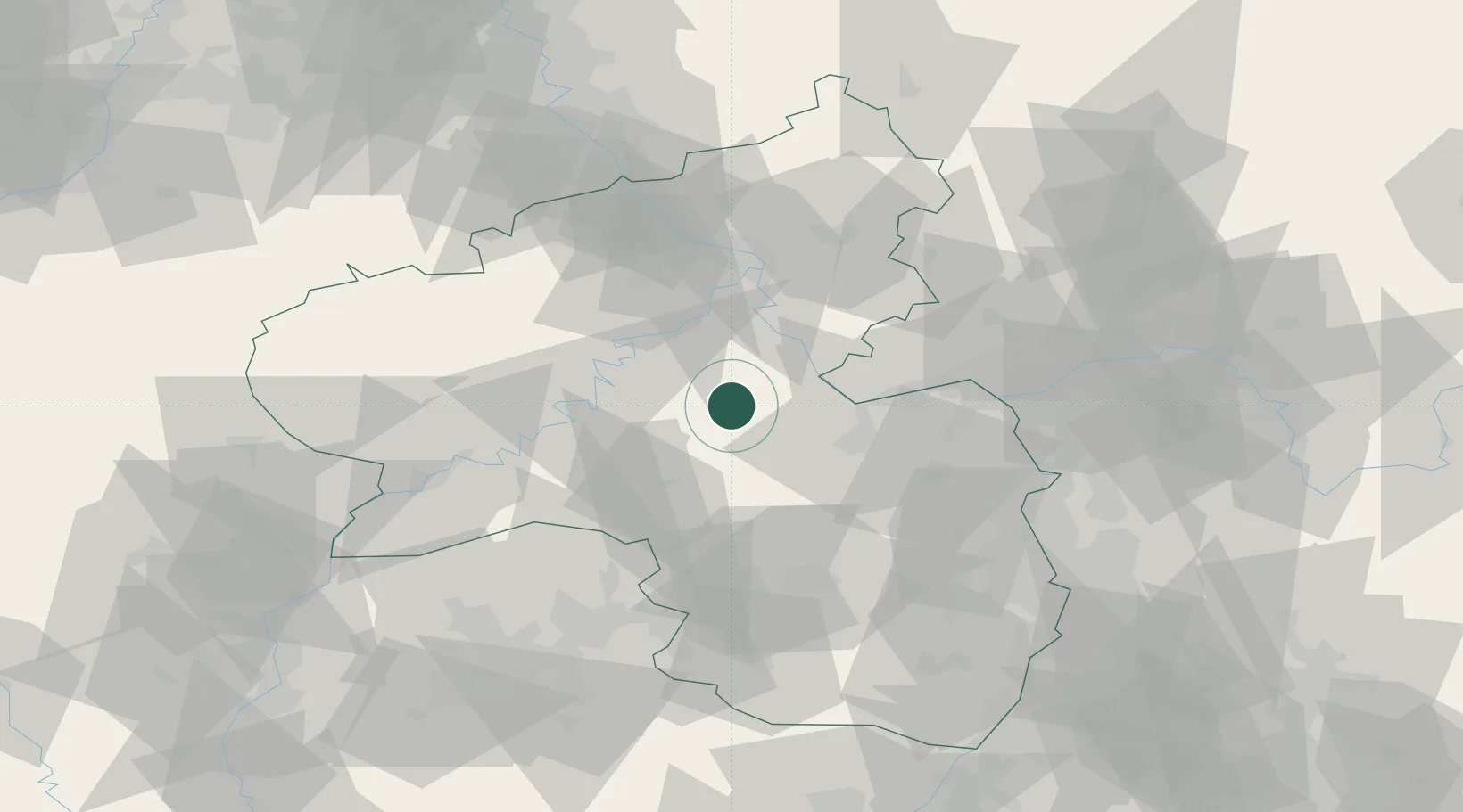
Location
Nearby Logistics Neighbours
Cities
- 1Niederkumbd6 km
- 2Wüschheim8 km
- 3Kirchberg9 km
- 4Bell13 km
- 5Spabrücken16 km
Airports
- 1Frankfurt-Hahn Airport18 km
- 2Büchel Air Base40 km
- 3Mainz-Finthen Airfield45 km
- 4Wiesbaden Army Airfield59 km
- 5Spangdahlem Air Base59 km
Trade Zones
- 1ZFU La Cité Behren-lès-Forbach99 km
- 2Luxembourg Free Port100 km
- 3Rheinische Revier SWZ132 km
- 4ZFU Woippy-Metz134 km
- 5ZFU Metz137 km
DatabookThe Record of Consolidated Knowledge
Germany beyond logistics?