Transport Functions
Road
Multimodal
Hub Profile
Place type
Local administrative seat
Region
Bavaria
Population
1,269
Time zone
Europe/Berlin
Elevation
427 m
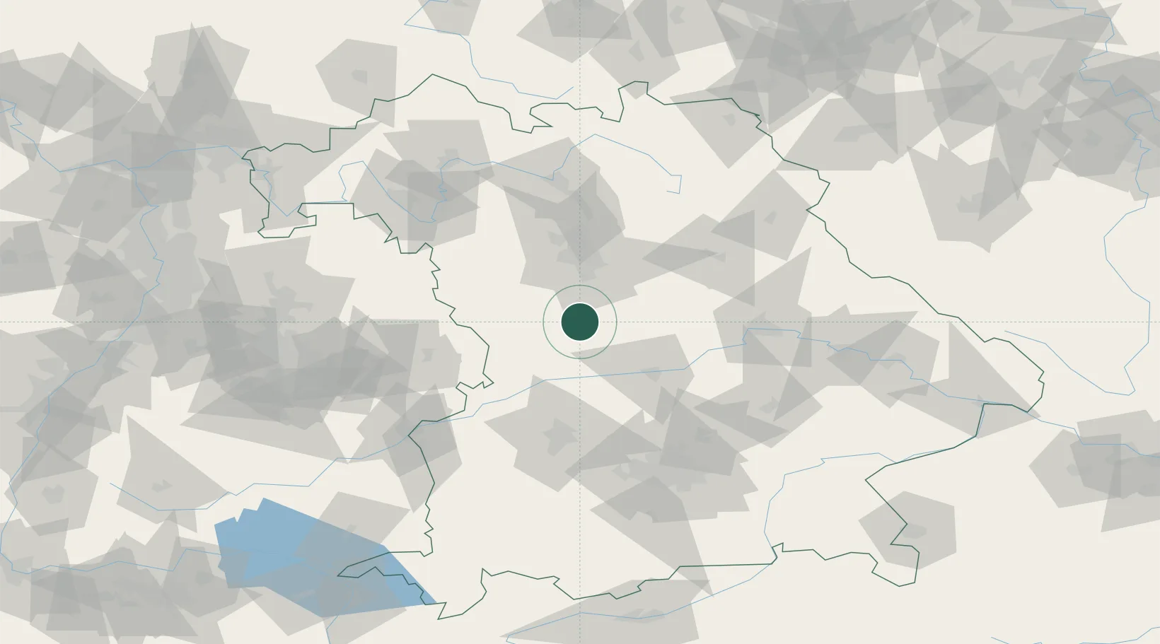
Location
Nearby Logistics Neighbours
Cities
- 1Weissenburg4 km
- 2Weissenburg in Bayern5 km
- 3Lengenfeld13 km
- 4Bubenheim13 km
- 5Petersbuch15 km
Ports
- 1Nogaro402 km
- 2Monfalcone412 km
- 3Grado412 km
- 4Porto Di Lido-Venezia420 km
- 5Trieste432 km
Airports
- 1Neuburg Air Base42 km
- 2Nuremberg Airport48 km
- 3Ingolstadt Manching Airport54 km
- 4Hohenfels Army Airfield62 km
- 5Augsburg Airport72 km
Trade Zones
- 1Freeport of Deggendorf140 km
- 2Podbořany Industrial Zone215 km
- 3Žatec - Triangle Strategic Industrial Zone233 km
- 4ZFU Neuhof245 km
- 5Most - Joseph Industrial Zone246 km
DatabookThe Record of Consolidated Knowledge
Germany beyond logistics?