Transport Functions
Multimodal
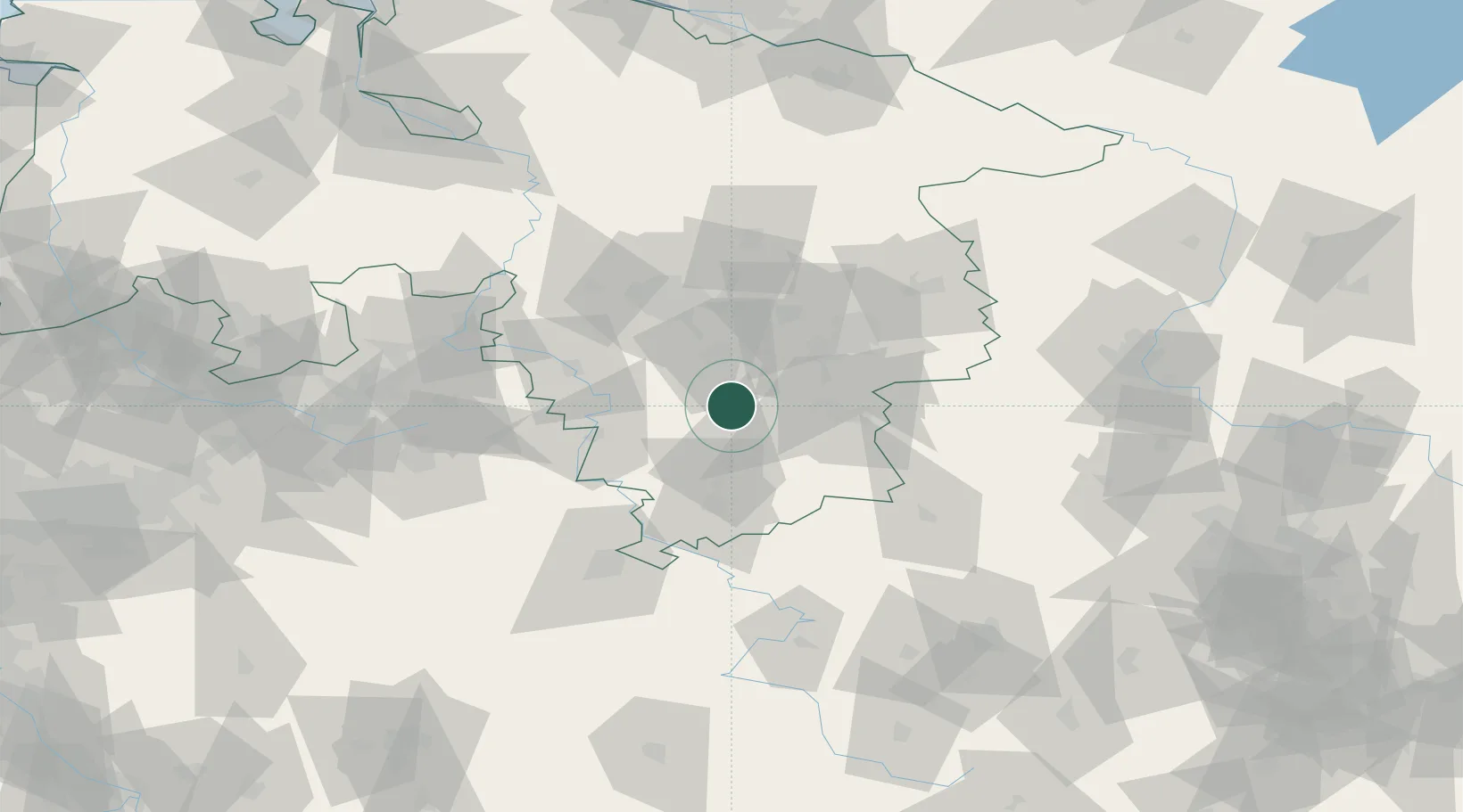
Hub Profile
Place type
Populated place
Region
Lower Saxony
Population
3,223
Time zone
Europe/Berlin
Elevation
214 m
Location
Nearby Logistics Neighbours
Cities
- 1Harbarnsen4 km
- 2Bad Gandersheim10 km
- 3Kreiensen10 km
- 4Bad Salzdetfurth11 km
- 5Bockenem12 km
Airports
- 1Braunschweig-Wolfsburg Airport56 km
- 2Hannover Airport61 km
- 3Wunstorf Air Base69 km
- 4Celle Army Airfield71 km
- 5Kassel Airport73 km
Trade Zones
DatabookThe Record of Consolidated Knowledge
Germany beyond logistics?