Transport Functions
Port
Rail
Road
Hub Profile
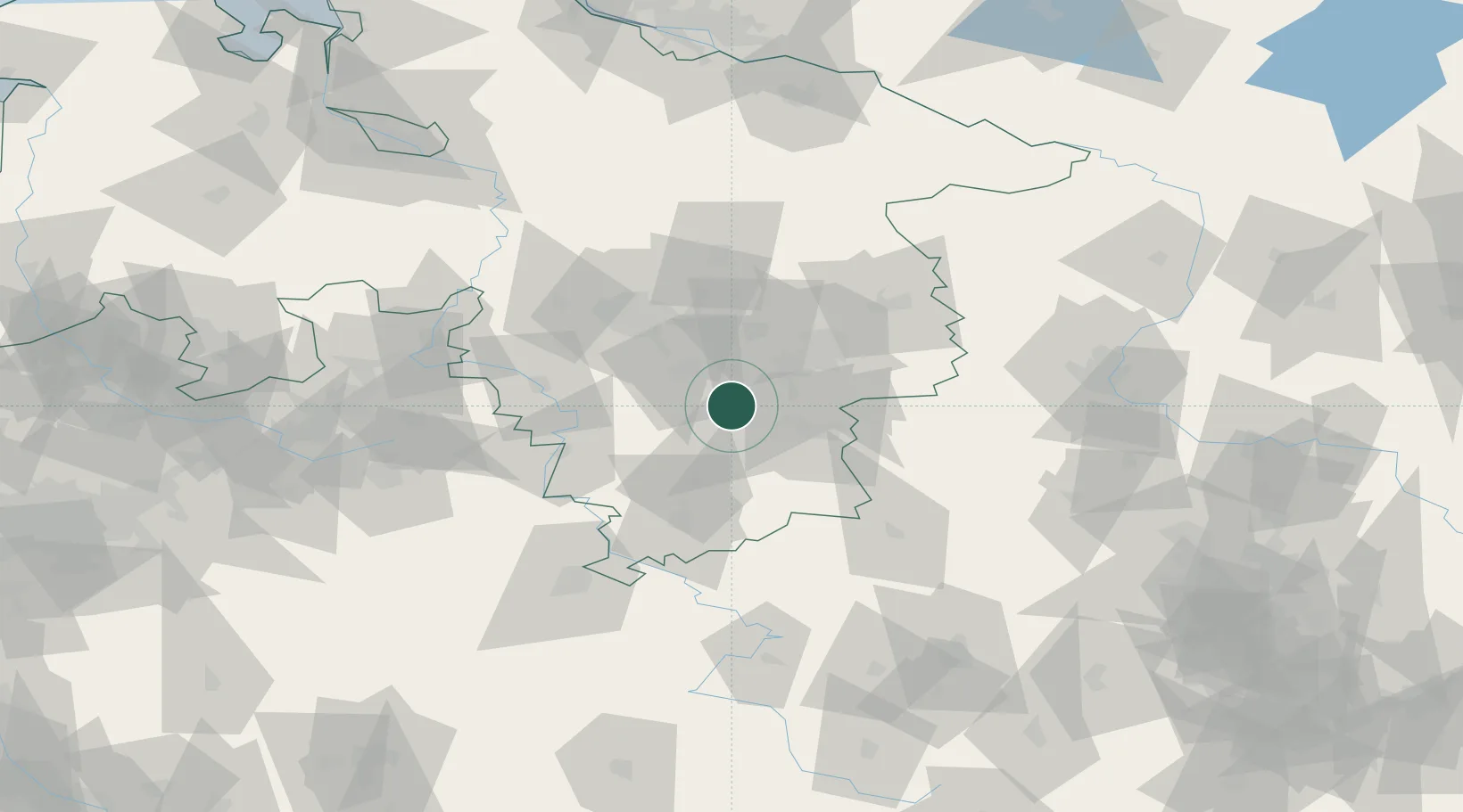
Place type
Local administrative seat
Region
Lower Saxony
Population
11,177
Time zone
Europe/Berlin
Elevation
122 m
Location
Nearby Logistics Neighbours
Cities
- 1Bad Salzdetfurth10 km
- 2Baddeckenstedt10 km
- 3Heersum11 km
- 4Lamspringe12 km
- 5Harbarnsen12 km
Airports
- 1Braunschweig-Wolfsburg Airport44 km
- 2Hannover Airport58 km
- 3Celle Army Airfield64 km
- 4Wunstorf Air Base69 km
- 5Bückeburg Air Base77 km
Trade Zones
DatabookThe Record of Consolidated Knowledge
Germany beyond logistics?