UN/LOCODE hub · Germany
DEBGM
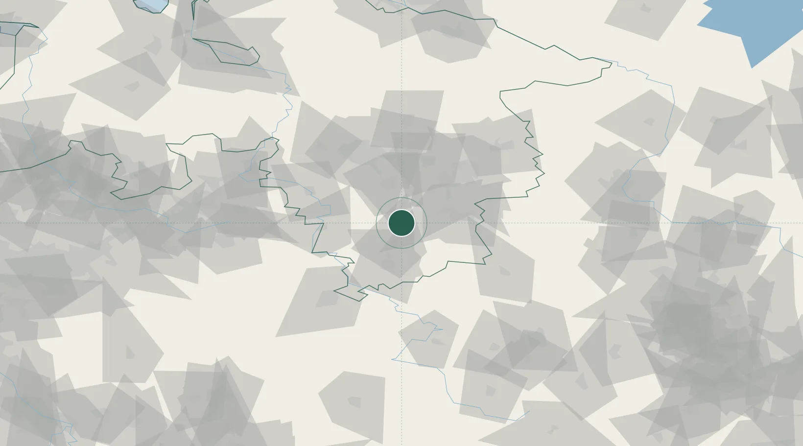
Bad Gandersheim
51.8667°, 10.0333°
11,099
Population
3
Transport functions
Transport Functions
Rail
Road
Airport
Hub Profile
Place type
Populated place
Region
Lower Saxony
Population
11,099
Time zone
Europe/Berlin
Elevation
123 m
Location
Nearby Logistics Neighbours
Cities
- 1Kreiensen5 km
- 2Lamspringe10 km
- 3Seesen11 km
- 4Staufenberg12 km
- 5Einbeck13 km
Airports
- 1Braunschweig-Wolfsburg Airport62 km
- 2Kassel Airport67 km
- 3Hannover Airport70 km
- 4Wunstorf Air Base78 km
- 5Bückeburg Air Base80 km
Trade Zones
DatabookThe Record of Consolidated Knowledge
Germany beyond logistics?