Transport Functions
Multimodal
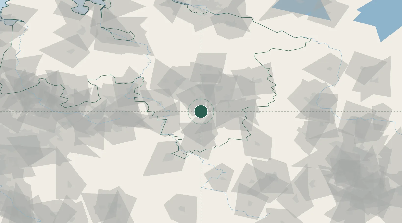
Hub Profile
Place type
Local administrative seat
Region
Lower Saxony
Population
680
Time zone
Europe/Berlin
Elevation
177 m
Location
Nearby Logistics Neighbours
Cities
- 1Lamspringe4 km
- 2Bad Salzdetfurth8 km
- 3Bockenem12 km
- 4Kreiensen13 km
- 5Bad Gandersheim14 km
Airports
- 1Braunschweig-Wolfsburg Airport55 km
- 2Hannover Airport57 km
- 3Wunstorf Air Base64 km
- 4Celle Army Airfield68 km
- 5Bückeburg Air Base69 km
Trade Zones
DatabookThe Record of Consolidated Knowledge
Germany beyond logistics?