UN/LOCODE hub · Germany
DEBSF
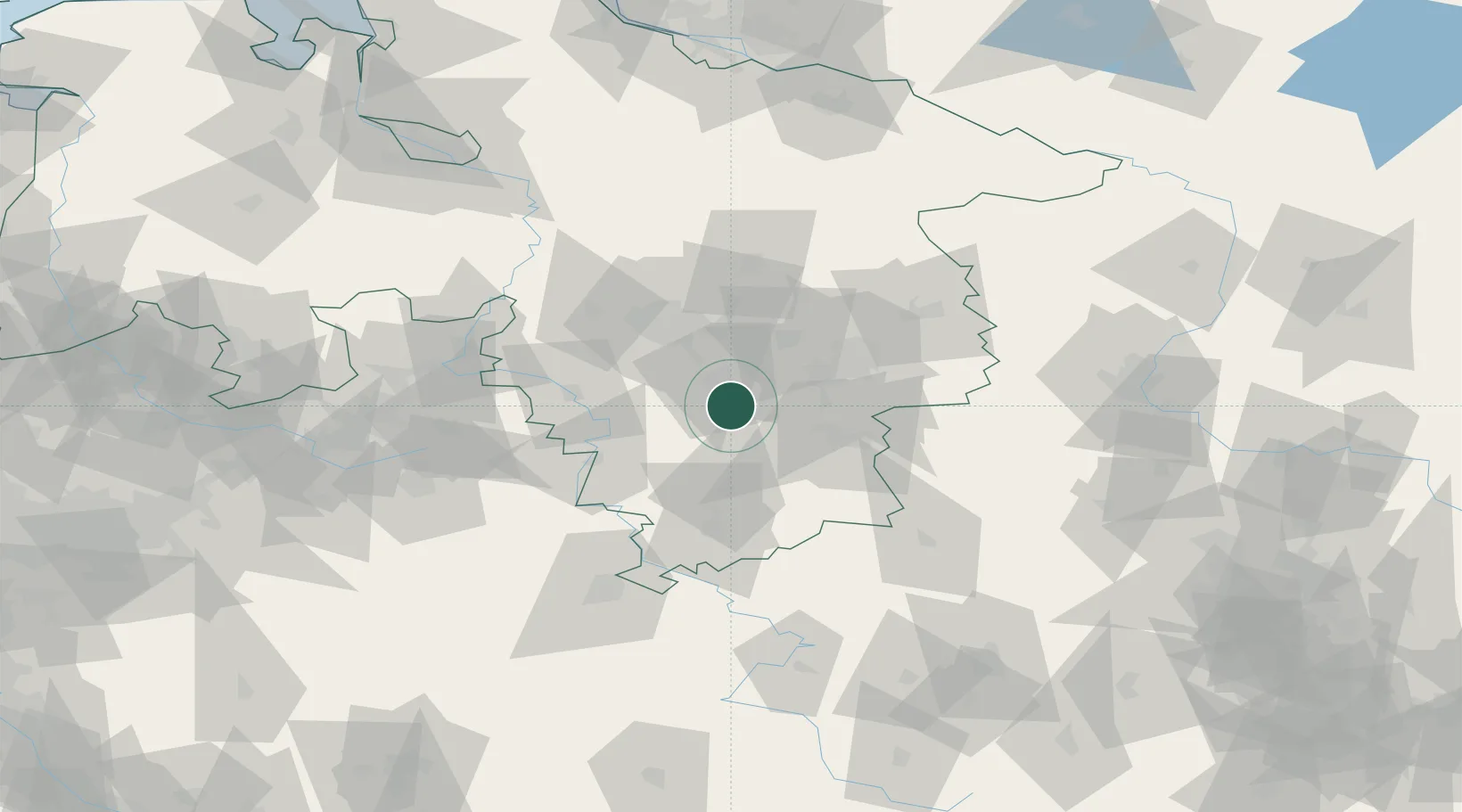
Bad Salzdetfurth
52.0500°, 10.0000°
14,349
Population
2
Transport functions
Transport Functions
Rail
Road
Hub Profile
Place type
Populated place
Region
Lower Saxony
Population
14,349
Time zone
Europe/Berlin
Elevation
110 m
Location
Nearby Logistics Neighbours
Cities
- 1Harbarnsen8 km
- 2Bockenem10 km
- 3Heersum10 km
- 4Lamspringe11 km
- 5Hildesheim11 km
Airports
- 1Braunschweig-Wolfsburg Airport48 km
- 2Hannover Airport51 km
- 3Wunstorf Air Base60 km
- 4Celle Army Airfield60 km
- 5Bückeburg Air Base68 km
Trade Zones
DatabookThe Record of Consolidated Knowledge
Germany beyond logistics?