Transport Functions
Rail
Road
Hub Profile
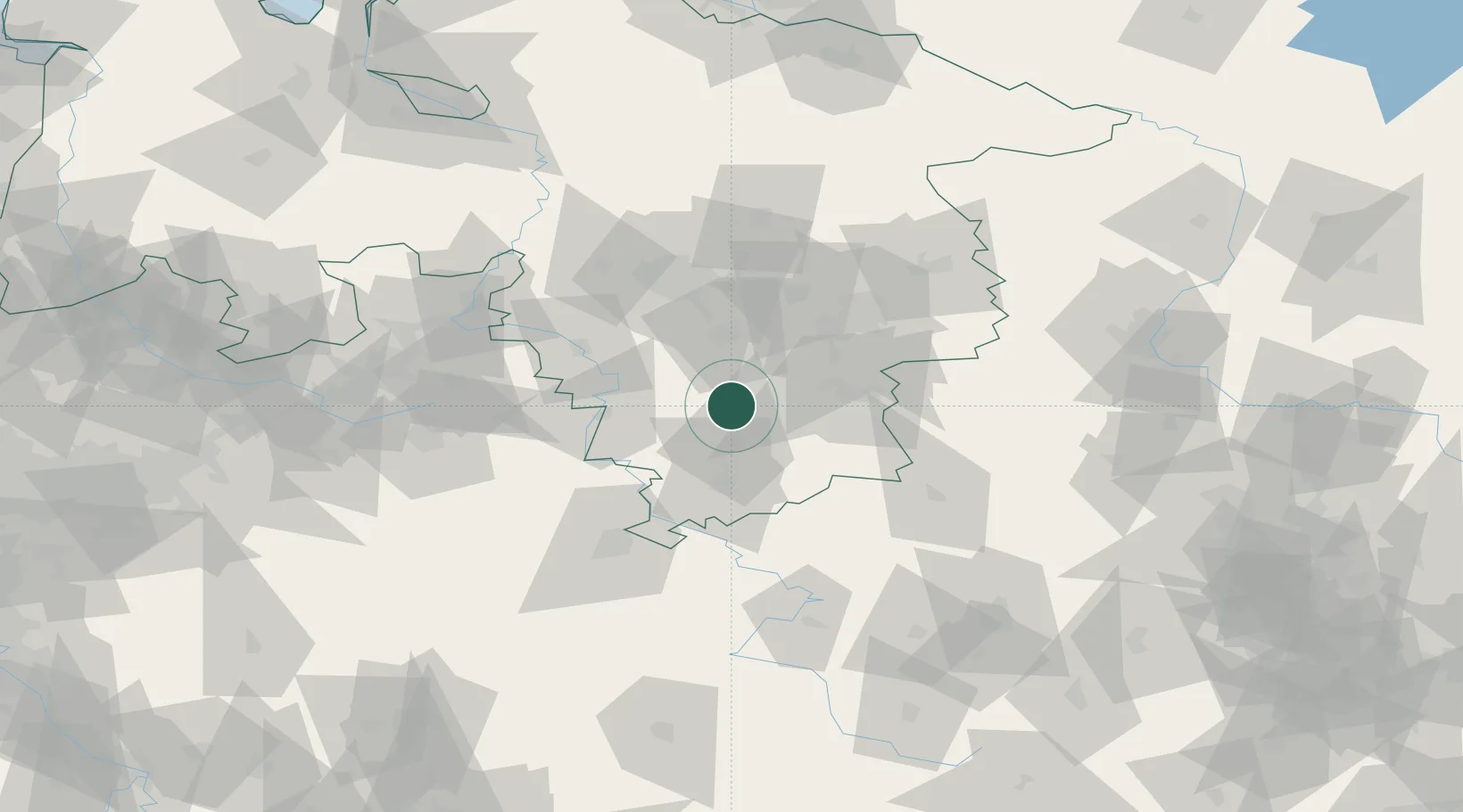
Place type
Populated place
Region
Lower Saxony
Population
7,359
Time zone
Europe/Berlin
Elevation
106 m
Location
Nearby Logistics Neighbours
Cities
- 1Bad Gandersheim5 km
- 2Einbeck9 km
- 3Lamspringe10 km
- 4Harbarnsen13 km
- 5Hollenstedt15 km
Airports
- 1Kassel Airport64 km
- 2Braunschweig-Wolfsburg Airport64 km
- 3Hannover Airport69 km
- 4Wunstorf Air Base75 km
- 5Bückeburg Air Base76 km
Trade Zones
DatabookThe Record of Consolidated Knowledge
Germany beyond logistics?