Transport Functions
Multimodal
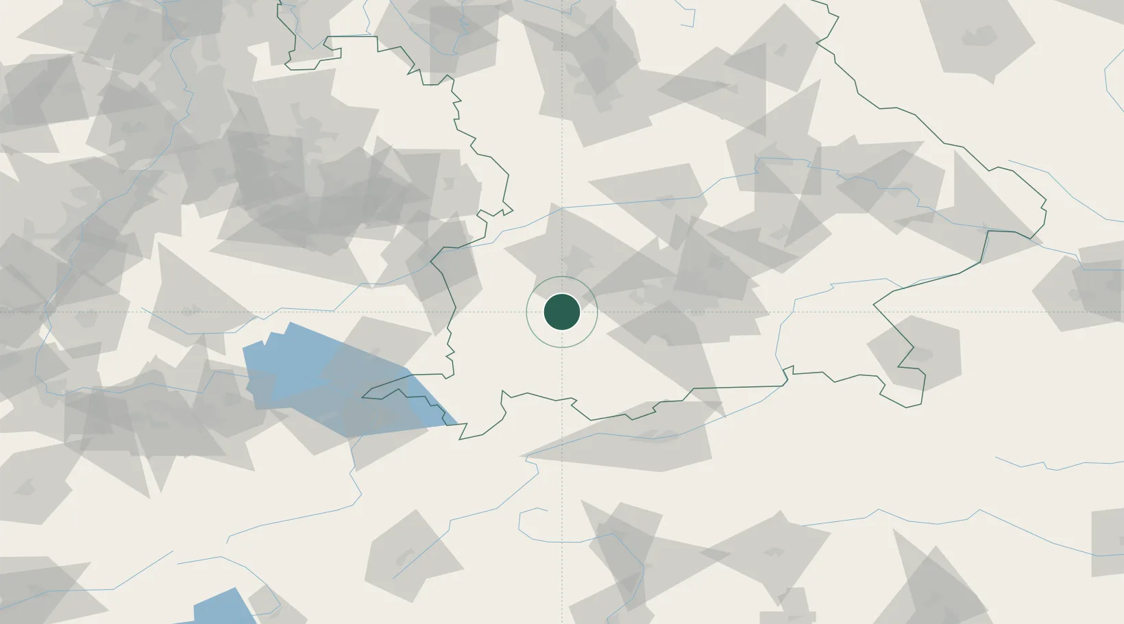
Hub Profile
Region
BY
Location
Nearby Logistics Neighbours
Cities
- 1Landsberg am Lech5 km
- 2Pürgen9 km
- 3Wiedergeltingen11 km
- 4Asch13 km
- 5Hofstetten (Landsberg)14 km
Ports
- 1Nogaro313 km
- 2Porto Di Lido-Venezia320 km
- 3Grado325 km
- 4Monfalcone329 km
- 5Porto Di Chioggia335 km
Airports
- 1Lechfeld Air Base14 km
- 2Oberpfaffenhofen Airport36 km
- 3Augsburg Airport41 km
- 4Memmingen Allgau Airport43 km
- 5Altstetten Ultralight Field45 km
Trade Zones
- 1Freeport of Deggendorf178 km
- 2Livigno Free Trade Zone179 km
- 3ZFU Neuhof231 km
- 4ZFU Hautepierre237 km
- 5ZFU Mulhouse261 km
DatabookThe Record of Consolidated Knowledge
Germany beyond logistics?