UN/LOCODE hub · Germany
DELXL
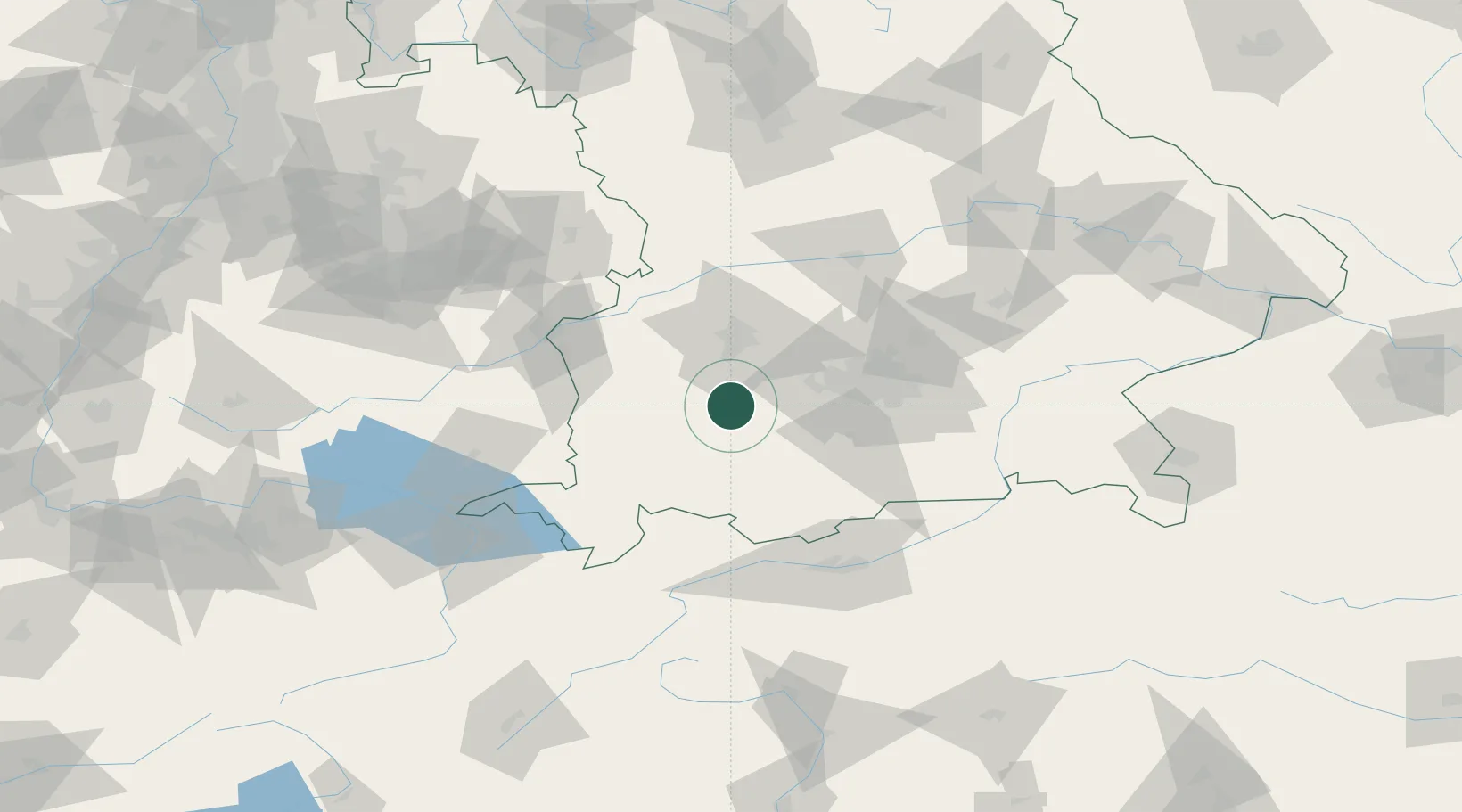
Landsberg am Lech
48.0500°, 10.8667°
27,017
Population
1
Transport functions
Transport Functions
Multimodal
Hub Profile
Place type
District seat
Region
Bavaria
Population
27,017
Time zone
Europe/Berlin
Elevation
637 m
Location
Nearby Logistics Neighbours
Cities
- 1Pürgen4 km
- 2Igling5 km
- 3Hofstetten (Landsberg)8 km
- 4Finning11 km
- 5Asch11 km
Ports
- 1Nogaro309 km
- 2Porto Di Lido-Venezia316 km
- 3Grado320 km
- 4Monfalcone324 km
- 5Porto Di Chioggia332 km
Airports
- 1Lechfeld Air Base15 km
- 2Oberpfaffenhofen Airport31 km
- 3Augsburg Airport42 km
- 4Altstetten Ultralight Field42 km
- 5Memmingen Allgau Airport47 km
Trade Zones
- 1Freeport of Deggendorf175 km
- 2Livigno Free Trade Zone178 km
- 3ZFU Neuhof236 km
- 4ZFU Hautepierre242 km
- 5ZFU Mulhouse265 km
DatabookThe Record of Consolidated Knowledge
Germany beyond logistics?