Transport Functions
Road
Multimodal
Hub Profile
Place type
Local administrative seat
Region
Bavaria
Population
3,186
Time zone
Europe/Berlin
Elevation
646 m
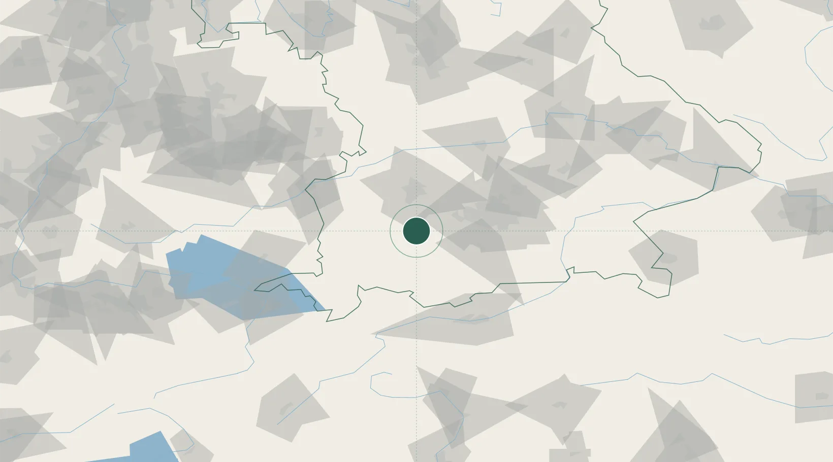
Location
Nearby Logistics Neighbours
Cities
- 1Landsberg am Lech4 km
- 2Hofstetten (Landsberg)4 km
- 3Finning7 km
- 4Vilgertshofen9 km
- 5Windach9 km
Ports
- 1Nogaro305 km
- 2Porto Di Lido-Venezia313 km
- 3Grado317 km
- 4Monfalcone320 km
- 5Porto Di Chioggia329 km
Airports
- 1Lechfeld Air Base17 km
- 2Oberpfaffenhofen Airport28 km
- 3Altstetten Ultralight Field41 km
- 4Augsburg Airport44 km
- 5Memmingen Allgau Airport51 km
Trade Zones
- 1Freeport of Deggendorf172 km
- 2Livigno Free Trade Zone178 km
- 3ZFU Neuhof240 km
- 4ZFU Hautepierre247 km
- 5ZFU Mulhouse269 km
DatabookThe Record of Consolidated Knowledge
Germany beyond logistics?