UN/LOCODE hub · Germany
DEHFC

Hofstetten (Landsberg)

48.0167°, 10.9667°
2
Transport functions

Transport Functions

Road
Multimodal
UN/LOCODE

Hub Profile

Region
BY
GeoNames

Location

Location of DEHFC
Natural Earth 10m (public domain) · BY · DEHFC · 48.02, 10.97GoogleOSMYandex

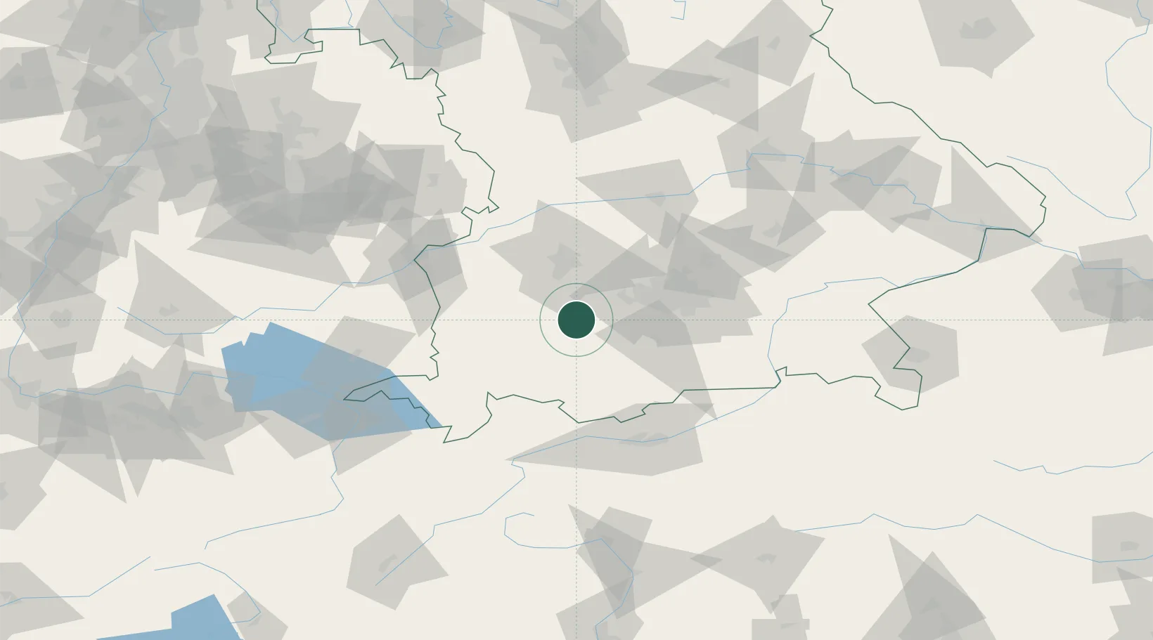
Nearby Logistics Neighbours

Cities
  1. 1Finning3 km
  2. 2Pürgen4 km
  3. 3Windach7 km
  4. 4Vilgertshofen8 km
  5. 5Landsberg am Lech8 km
Nearest neighbours — logibook spatial index (haversine) over the source coordinates
Ports
  1. 1Nogaro302 km
  2. 2Porto Di Lido-Venezia310 km
  3. 3Grado313 km
  4. 4Monfalcone317 km
  5. 5Porto Di Chioggia326 km
Nearest neighbours — logibook spatial index (haversine) over the source coordinates
Airports
  1. 1Lechfeld Air Base20 km
  2. 2Oberpfaffenhofen Airport25 km
  3. 3Altstetten Ultralight Field40 km
  4. 4Augsburg Airport46 km
  5. 5Memmingen Allgau Airport54 km
Nearest neighbours — logibook spatial index (haversine) over the source coordinates
Trade Zones
  1. 1Freeport of Deggendorf170 km
  2. 2Livigno Free Trade Zone178 km
  3. 3ZFU Neuhof244 km
  4. 4ZFU Hautepierre251 km
  5. 5ZFU Mulhouse272 km
Nearest neighbours — logibook spatial index (haversine) over the source coordinates
DatabookThe Record of Consolidated Knowledge
Germany beyond logistics?
Browse databook

All Sources

LocationsUN/LOCODE
UN/LOCODE — free
Portsthe NGA World Port Index
Public domain (US gov)
AirportsOurAirports
Public domain
Trade Zonesthe World Bank SEZ database
CC BY 4.0
Trade ZonesOpen Zone Map
CC BY
← Germany locations