Transport Functions
Rail
Road
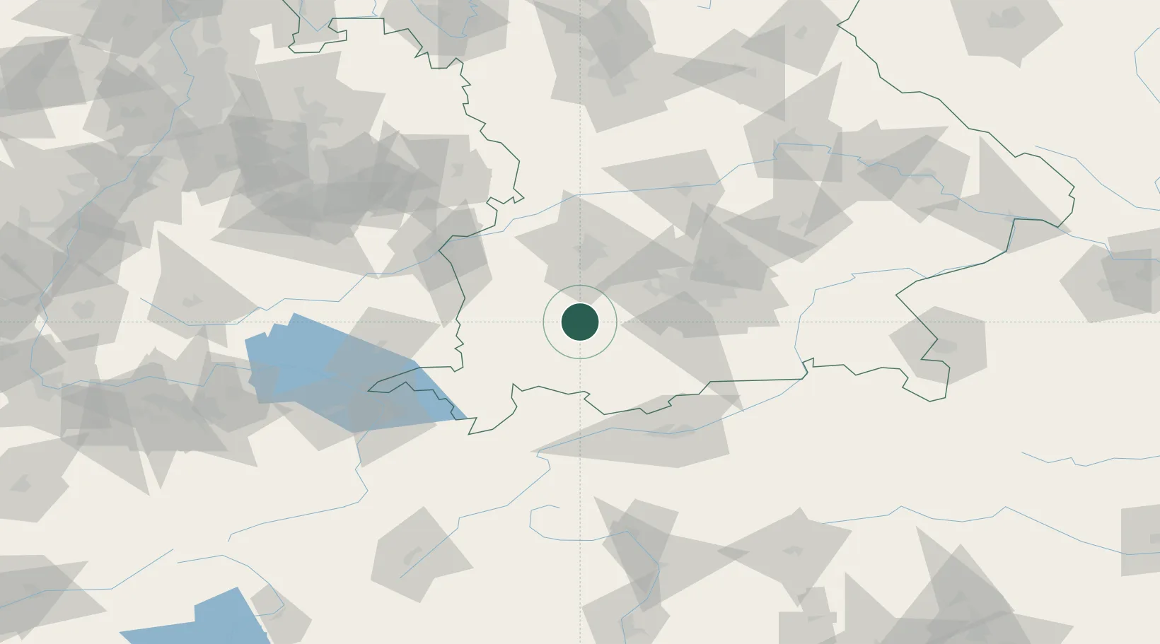
Hub Profile
Place type
Populated place
Region
Bavaria
Time zone
Europe/Berlin
Elevation
653 m
Location
Nearby Logistics Neighbours
Cities
- 1Vilgertshofen6 km
- 2Pürgen11 km
- 3Landsberg am Lech11 km
- 4Hohenfurch12 km
- 5Hofstetten (Landsberg)12 km
Ports
- 1Nogaro301 km
- 2Porto Di Lido-Venezia307 km
- 3Grado313 km
- 4Monfalcone317 km
- 5Porto Di Chioggia322 km
Airports
- 1Lechfeld Air Base26 km
- 2Oberpfaffenhofen Airport37 km
- 3Memmingen Allgau Airport45 km
- 4Altstetten Ultralight Field52 km
- 5Augsburg Airport53 km
Trade Zones
- 1Livigno Free Trade Zone167 km
- 2Freeport of Deggendorf183 km
- 3ZFU Neuhof237 km
- 4ZFU Hautepierre243 km
- 5ZFU Mulhouse262 km
DatabookThe Record of Consolidated Knowledge
Germany beyond logistics?