UN/LOCODE hub · Germany
DEWG3
Wiedergeltingen
48.0333°, 10.6667°
1,377
Population
2
Transport functions
Transport Functions
Road
Multimodal
Hub Profile
Place type
Local administrative seat
Region
Bavaria
Population
1,377
Time zone
Europe/Berlin
Elevation
612 m
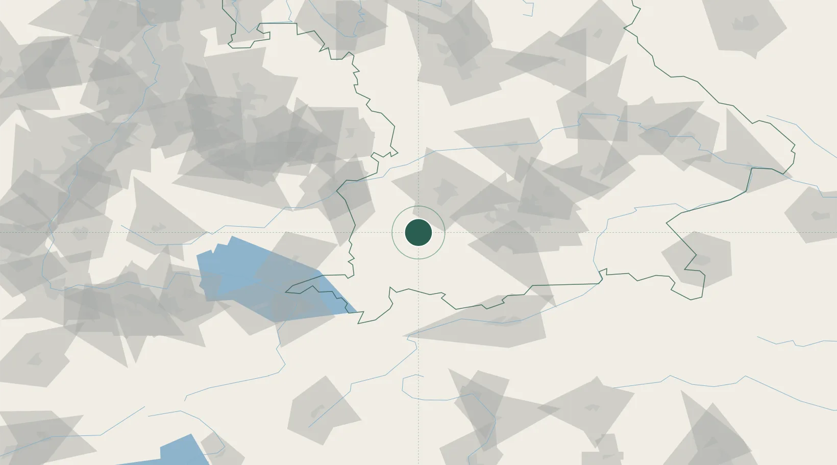
Location
Nearby Logistics Neighbours
Cities
- 1Rammingen7 km
- 2Igling11 km
- 3Pforzen12 km
- 4Dirlewang13 km
- 5Landsberg am Lech15 km
Ports
- 1Nogaro316 km
- 2Porto Di Lido-Venezia321 km
- 3Grado328 km
- 4Monfalcone333 km
- 5Porto Di Chioggia335 km
Airports
- 1Lechfeld Air Base22 km
- 2Memmingen Allgau Airport32 km
- 3Oberpfaffenhofen Airport46 km
- 4Augsburg Airport48 km
- 5Altstetten Ultralight Field55 km
Trade Zones
- 1Livigno Free Trade Zone172 km
- 2Freeport of Deggendorf188 km
- 3ZFU Neuhof222 km
- 4ZFU Hautepierre229 km
- 5ZFU Mulhouse250 km
DatabookThe Record of Consolidated Knowledge
Germany beyond logistics?