Transport Functions
Multimodal
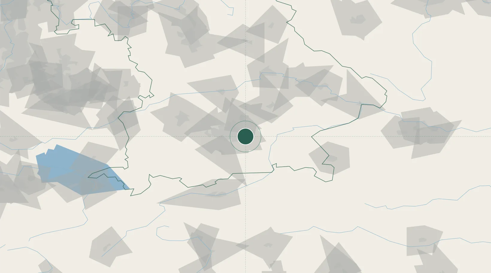
Hub Profile
Place type
Populated place
Region
Bavaria
Time zone
Europe/Berlin
Elevation
536 m
Location
Nearby Logistics Neighbours
Cities
- 1Feldkirchen7 km
- 2Aschheim8 km
- 3Kirchseeon8 km
- 4Dornach9 km
- 5Riemerling11 km
Ports
- 1Nogaro282 km
- 2Monfalcone292 km
- 3Grado292 km
- 4Porto Di Lido-Venezia304 km
- 5Trieste312 km
Airports
- 1Munich Airport26 km
- 2Oberpfaffenhofen Airport39 km
- 3Altstetten Ultralight Field44 km
- 4Landshut Airfield47 km
- 5Ingolstadt Manching Airport69 km
Trade Zones
DatabookThe Record of Consolidated Knowledge
Germany beyond logistics?