Transport Functions
Multimodal
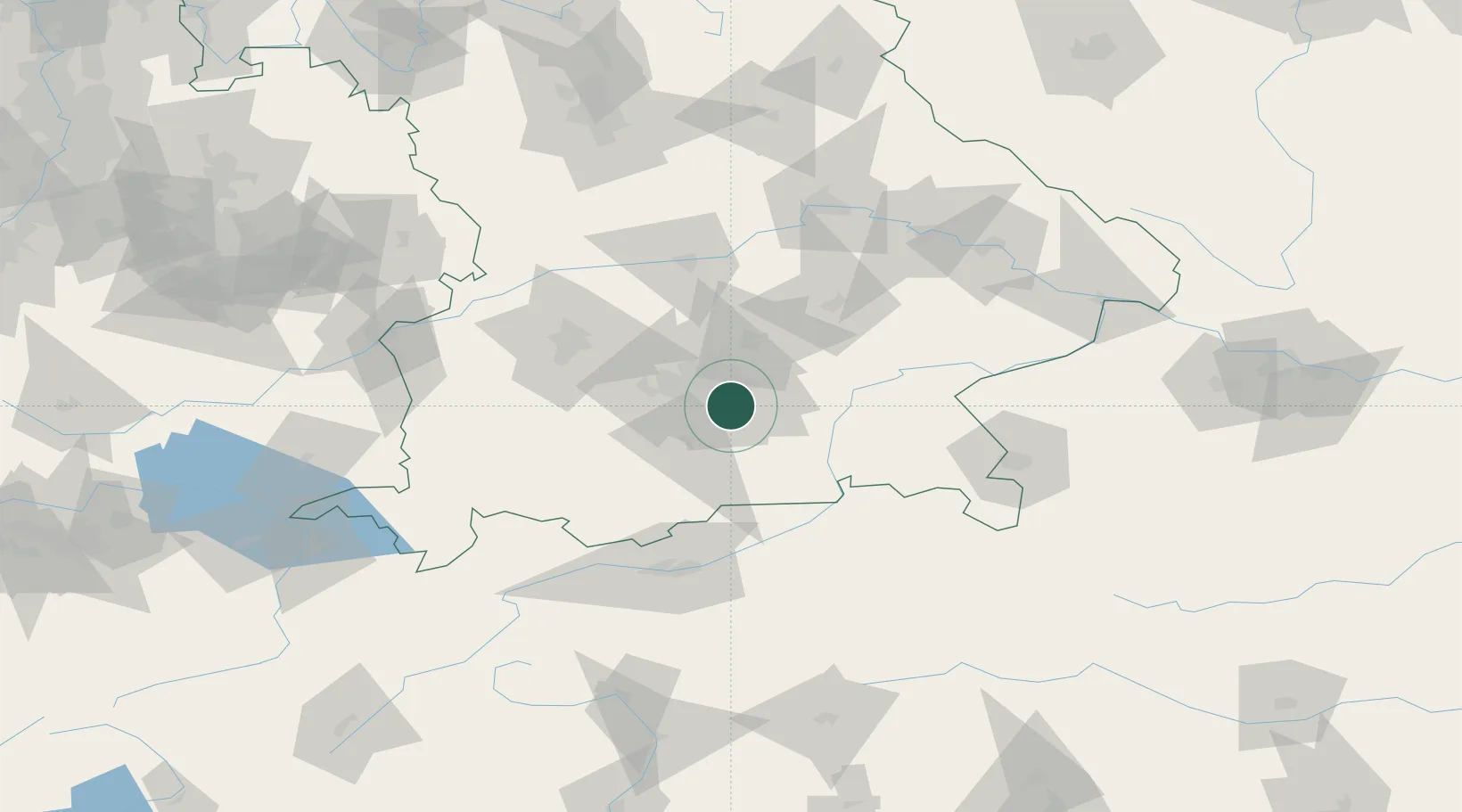
Hub Profile
Place type
Populated place
Region
Bavaria
Time zone
Europe/Berlin
Elevation
562 m
Location
Nearby Logistics Neighbours
Cities
- 1Unterhaching3 km
- 2Brunnthal6 km
- 3Hohenkirchen6 km
- 4Furth (München)6 km
- 5Siegertsbrunn7 km
Ports
- 1Nogaro281 km
- 2Grado291 km
- 3Monfalcone291 km
- 4Porto Di Lido-Venezia300 km
- 5Trieste312 km
Airports
- 1Oberpfaffenhofen Airport29 km
- 2Munich Airport33 km
- 3Altstetten Ultralight Field39 km
- 4Landshut Airfield57 km
- 5Lechfeld Air Base61 km
Trade Zones
- 1Freeport of Deggendorf126 km
- 2Livigno Free Trade Zone208 km
- 3Podbořany Industrial Zone272 km
- 4Žatec - Triangle Strategic Industrial Zone292 km
- 5ZFU Neuhof293 km
DatabookThe Record of Consolidated Knowledge
Germany beyond logistics?