Transport Functions
Port
Multimodal
Hub Profile
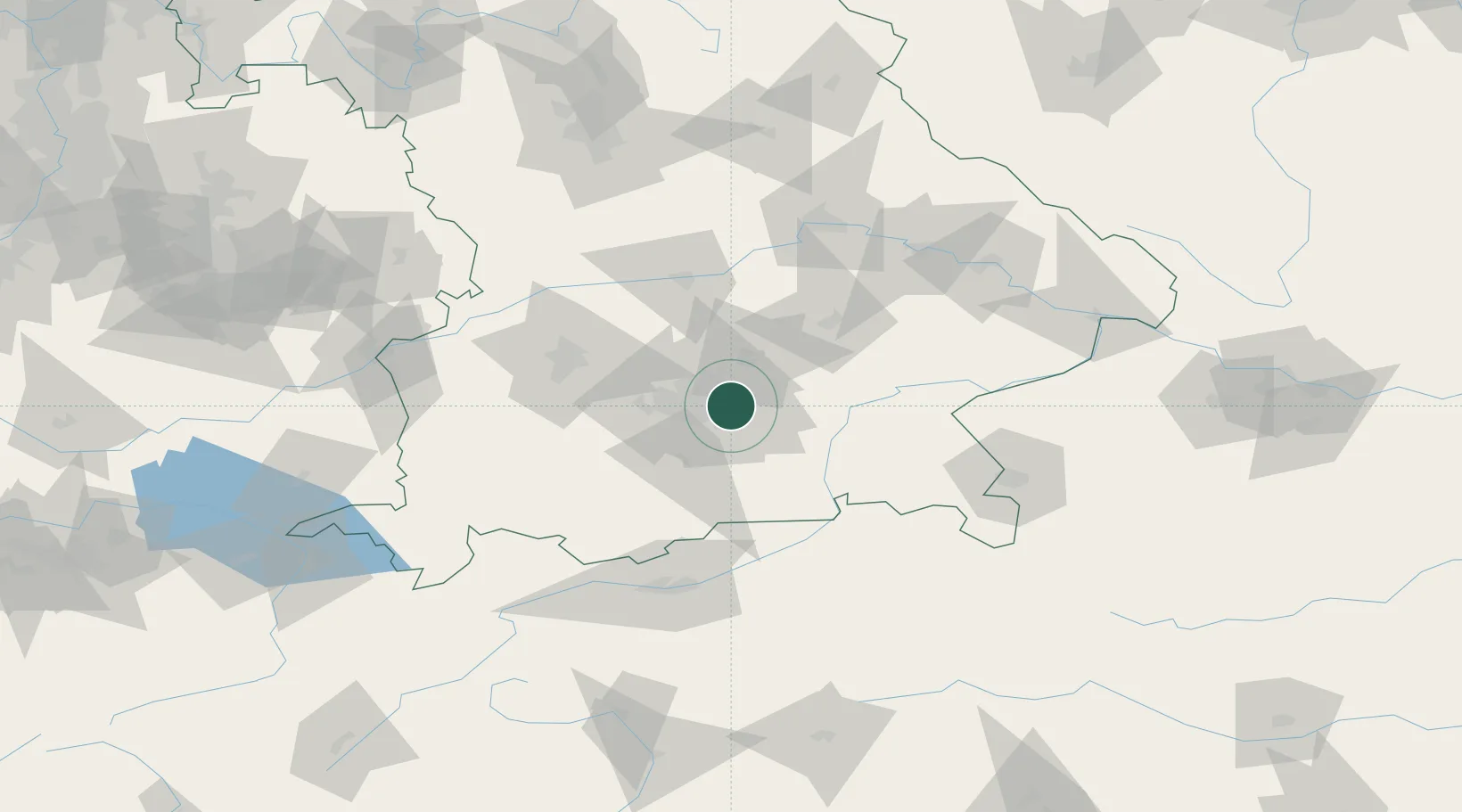
Place type
Populated place
Region
Bavaria
Time zone
Europe/Berlin
Elevation
518 m
Location
Nearby Logistics Neighbours
Cities
- 1Feldkirchen3 km
- 2München3 km
- 3Aschheim3 km
- 4Riemerling9 km
- 5Hergolding9 km
Ports
- 1Nogaro289 km
- 2Monfalcone299 km
- 3Grado299 km
- 4Porto Di Lido-Venezia309 km
- 5Trieste319 km
Airports
- 1Munich Airport24 km
- 2Oberpfaffenhofen Airport31 km
- 3Altstetten Ultralight Field34 km
- 4Landshut Airfield48 km
- 5Lechfeld Air Base61 km
Trade Zones
- 1Freeport of Deggendorf119 km
- 2Livigno Free Trade Zone216 km
- 3Podbořany Industrial Zone263 km
- 4Žatec - Triangle Strategic Industrial Zone283 km
- 5ZFU Neuhof293 km
DatabookThe Record of Consolidated Knowledge
Germany beyond logistics?