Transport Functions
Rail
Road
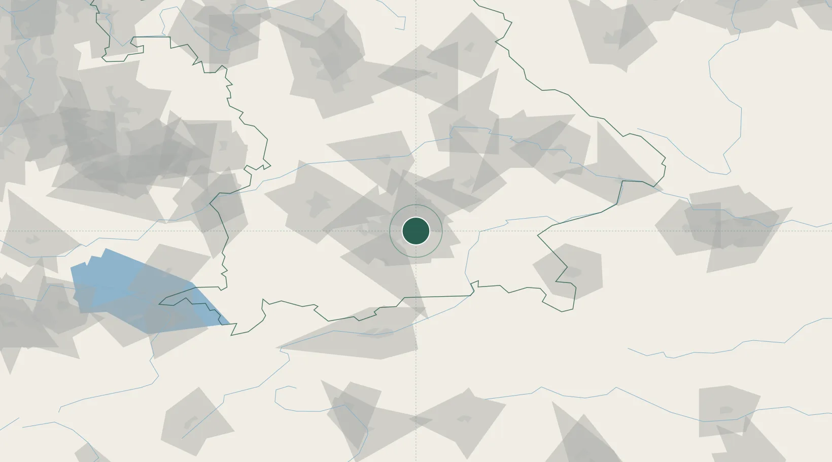
Hub Profile
Place type
Local administrative seat
Region
Bavaria
Population
5,573
Time zone
Europe/Berlin
Elevation
525 m
Location
Nearby Logistics Neighbours
Cities
- 1Aschheim2 km
- 2Dornach3 km
- 3München5 km
- 4Hergolding7 km
- 5Riemerling10 km
Ports
- 1Nogaro288 km
- 2Monfalcone298 km
- 3Grado298 km
- 4Porto Di Lido-Venezia309 km
- 5Trieste318 km
Airports
- 1Munich Airport23 km
- 2Oberpfaffenhofen Airport33 km
- 3Altstetten Ultralight Field36 km
- 4Landshut Airfield47 km
- 5Lechfeld Air Base64 km
Trade Zones
DatabookThe Record of Consolidated Knowledge
Germany beyond logistics?