Transport Functions
Multimodal
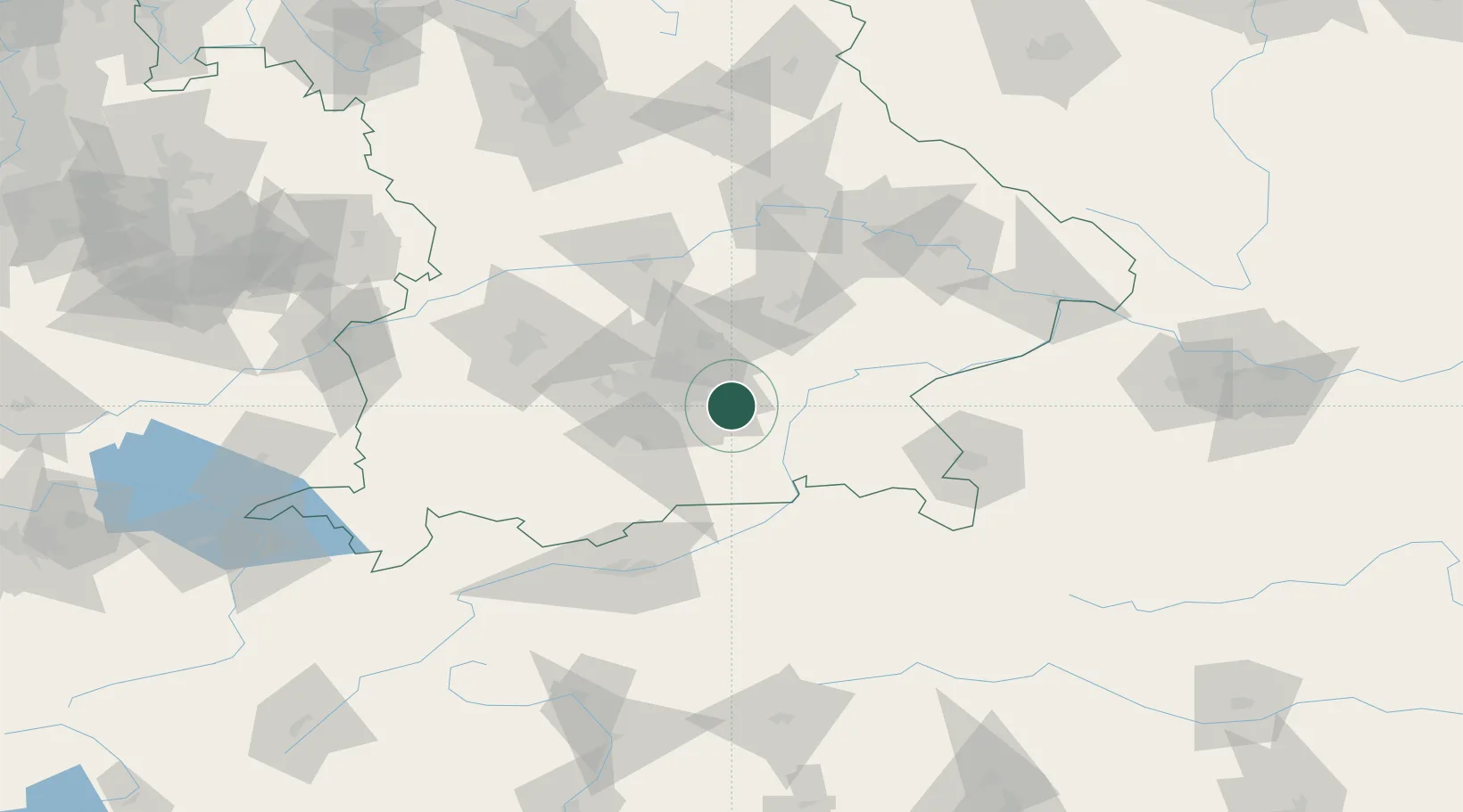
Hub Profile
Place type
Populated place
Region
Bavaria
Population
9,174
Time zone
Europe/Berlin
Elevation
564 m
Location
Nearby Logistics Neighbours
Cities
- 1Grafing7 km
- 2Hergolding8 km
- 3Glonn (Ebersberg)9 km
- 4Frauenneuharting12 km
- 5Hohenlinden12 km
Ports
- 1Nogaro275 km
- 2Monfalcone284 km
- 3Grado285 km
- 4Porto Di Lido-Venezia298 km
- 5Trieste304 km
Airports
- 1Munich Airport33 km
- 2Oberpfaffenhofen Airport45 km
- 3Landshut Airfield51 km
- 4Altstetten Ultralight Field52 km
- 5Ingolstadt Manching Airport77 km
Trade Zones
- 1Freeport of Deggendorf115 km
- 2Livigno Free Trade Zone217 km
- 3Podbořany Industrial Zone265 km
- 4Žatec - Triangle Strategic Industrial Zone285 km
- 5Free Port of Venice295 km
DatabookThe Record of Consolidated Knowledge
Germany beyond logistics?