Transport Functions
Rail
Road
Hub Profile
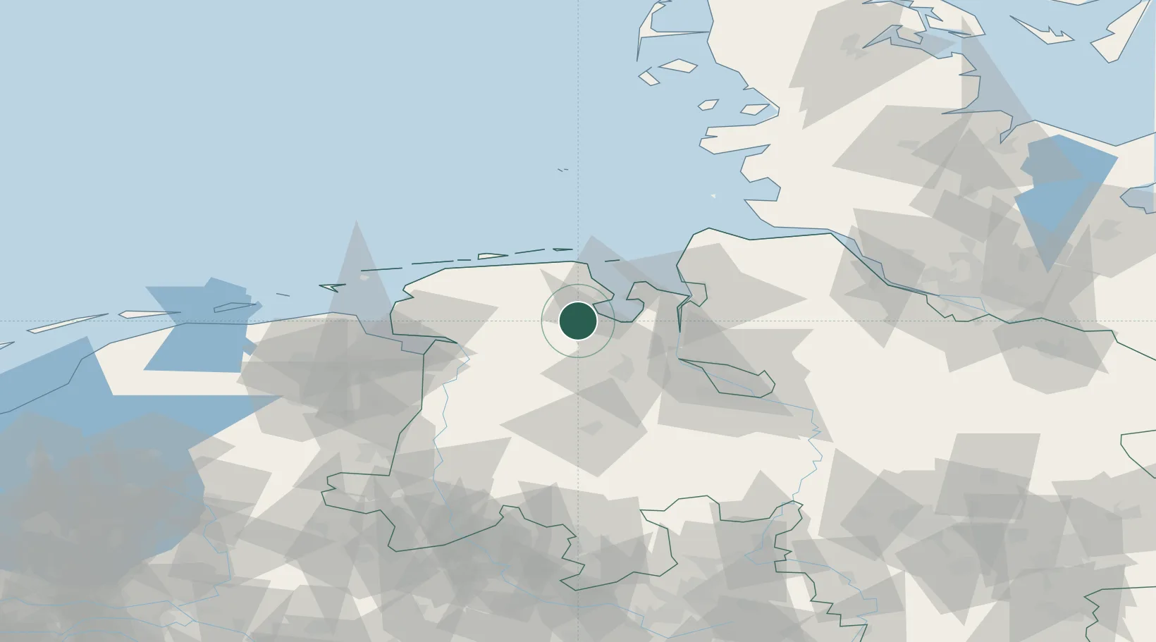
Place type
Local administrative seat
Region
Lower Saxony
Population
11,684
Time zone
Europe/Berlin
Elevation
6 m
Location
Nearby Logistics Neighbours
Cities
- 1Marx9 km
- 2Dangast10 km
- 3Varel10 km
- 4Mariensiel10 km
- 5Hesel10 km
Ports
- 1Wilhelmshaven18 km
- 2Nordenham34 km
- 3Brake34 km
- 4Oldenburg37 km
- 5Elsfleth38 km
Airports
- 1Wittmundhafen Air Base26 km
- 2Harlesiel Airfield34 km
- 3Wangerooge Airport41 km
- 4Emden Airport50 km
- 5Baltrum Airport53 km
Trade Zones
DatabookThe Record of Consolidated Knowledge
Germany beyond logistics?