Transport Functions
Multimodal
Hub Profile
Place type
Populated place
Region
Saxony-Anhalt
Population
2,489
Time zone
Europe/Berlin
Elevation
124 m
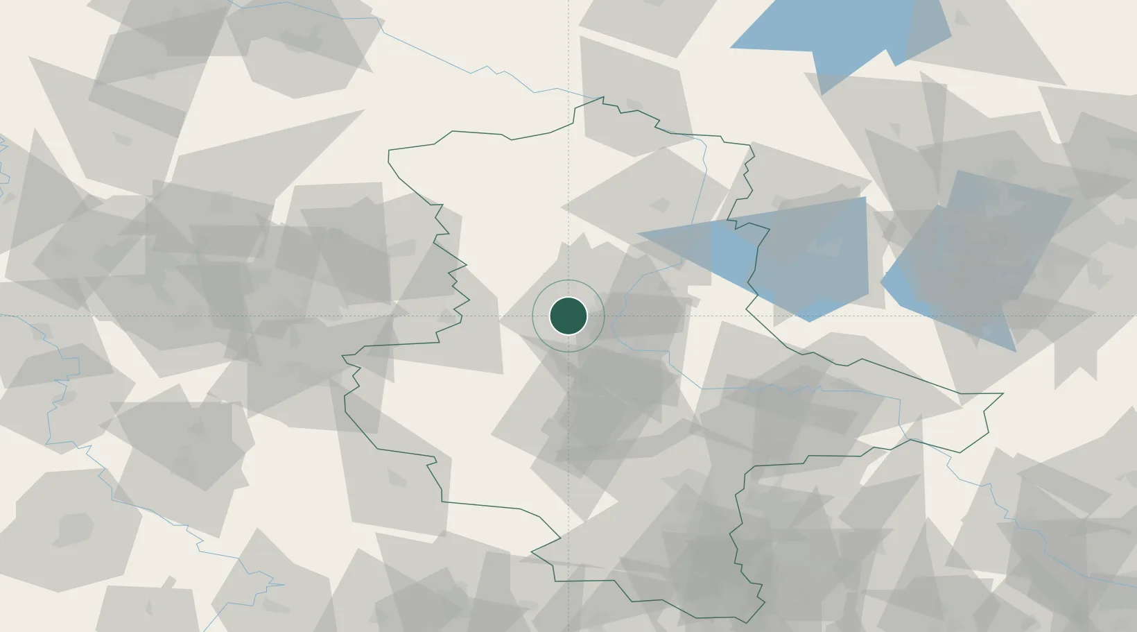
Location
Nearby Logistics Neighbours
Cities
- 1Hohe Boerde0 km
- 2Hermsdorf2 km
- 3Dahlenwarsleben4 km
- 4Niedere Börde8 km
- 5Meitzendorf8 km
Ports
- 1Hamburg186 km
- 2Wismar193 km
- 3Lubeck198 km
- 4Lubeck-Travemunde204 km
- 5Butzfleth211 km
Airports
- 1Zerbst Airfield49 km
- 2Braunschweig-Wolfsburg Airport65 km
- 3Leipzig/Halle Airport98 km
- 4Celle Army Airfield110 km
- 5Faßberg Air Base121 km
Trade Zones
DatabookThe Record of Consolidated Knowledge
Germany beyond logistics?