Transport Functions
Multimodal
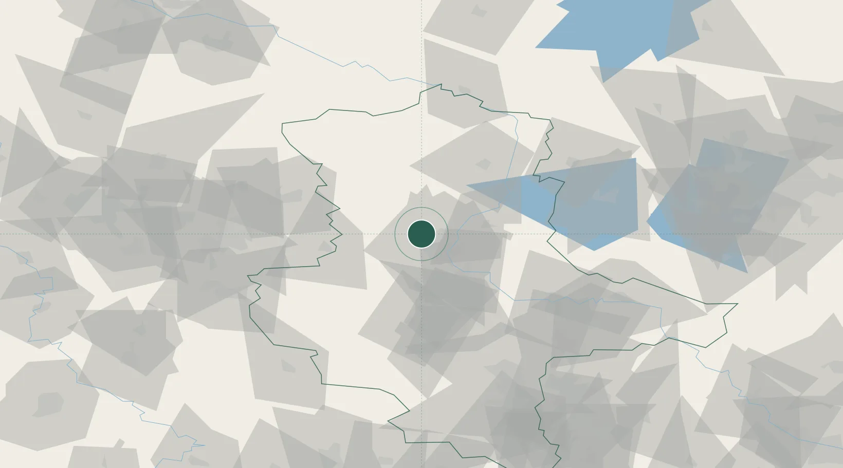
Hub Profile
Region
ST
Location
Nearby Logistics Neighbours
Cities
- 1Meitzendorf4 km
- 2Dahlenwarsleben6 km
- 3Hermsdorf6 km
- 4Hohe Boerde8 km
- 5Irxleben8 km
Ports
- 1Hamburg181 km
- 2Wismar185 km
- 3Lubeck191 km
- 4Lubeck-Travemunde197 km
- 5Butzfleth207 km
Airports
- 1Zerbst Airfield50 km
- 2Braunschweig-Wolfsburg Airport66 km
- 3Leipzig/Halle Airport103 km
- 4Celle Army Airfield109 km
- 5Faßberg Air Base118 km
Trade Zones
DatabookThe Record of Consolidated Knowledge
Germany beyond logistics?