Transport Functions
Multimodal
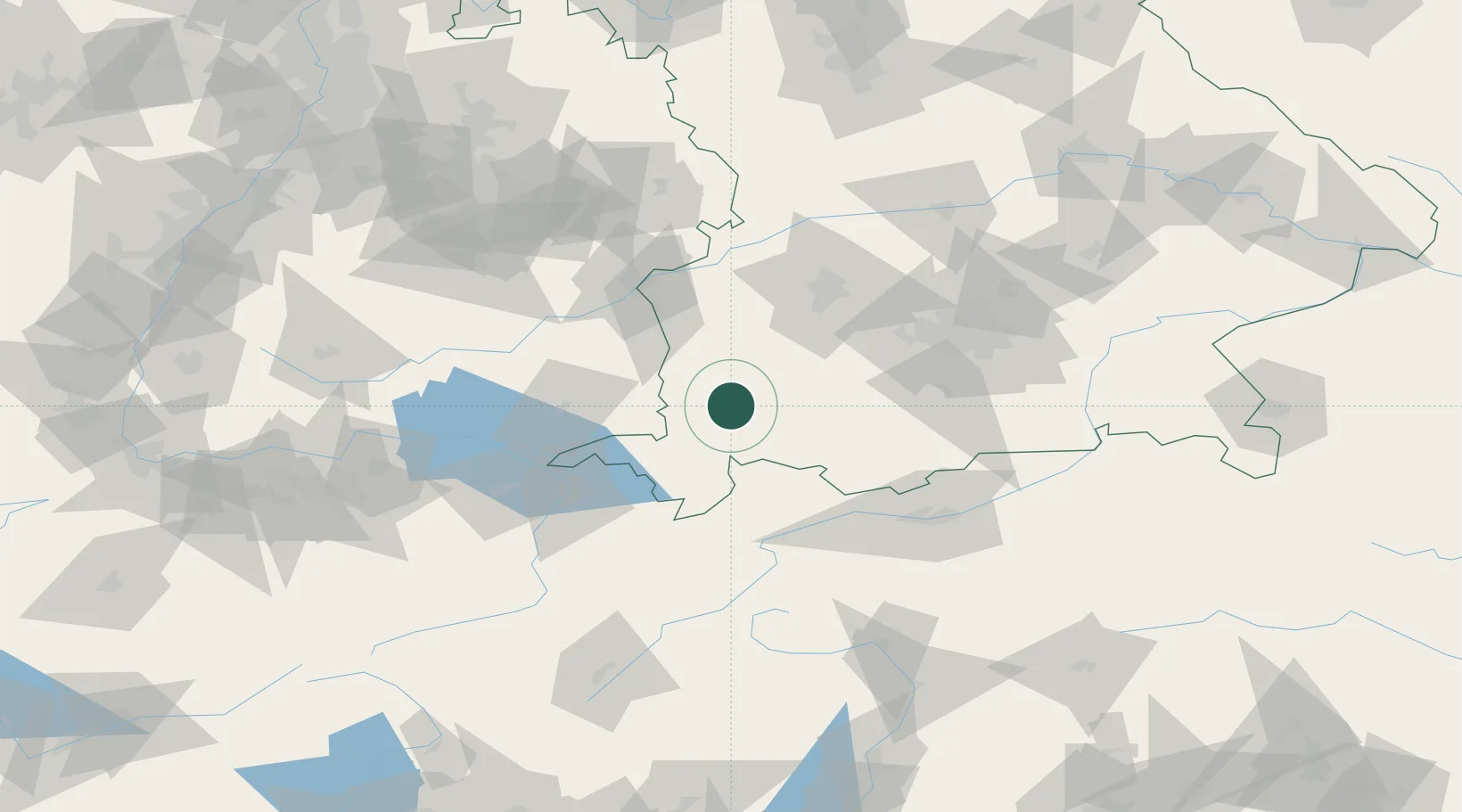
Hub Profile
Place type
Local administrative seat
Region
Bavaria
Population
1,522
Time zone
Europe/Berlin
Elevation
774 m
Location
Nearby Logistics Neighbours
Cities
- 1Obergünzburg4 km
- 2Haldenwang7 km
- 3Betzigau10 km
- 4Lauben im Oberallgäu11 km
- 5Ruderatshofen11 km
Ports
- 1Porto Di Lido-Venezia308 km
- 2Nogaro309 km
- 3Porto Di Chioggia321 km
- 4Grado321 km
- 5Monfalcone328 km
Airports
- 1Memmingen Allgau Airport24 km
- 2Lechfeld Air Base52 km
- 3Laupheim Air Base59 km
- 4Oberpfaffenhofen Airport70 km
- 5Bodensee Airport Friedrichshafen71 km
Trade Zones
- 1Livigno Free Trade Zone145 km
- 2ZFU Neuhof214 km
- 3Freeport of Deggendorf216 km
- 4ZFU Hautepierre221 km
- 5ZFU Mulhouse232 km
DatabookThe Record of Consolidated Knowledge
Germany beyond logistics?