Transport Functions
Rail
Road
Hub Profile
Region
BY
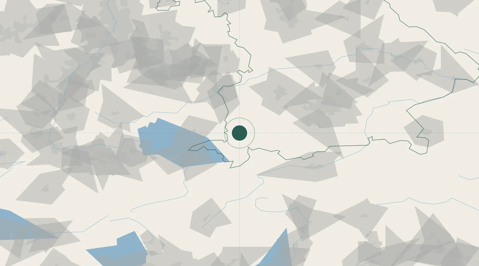
Location
Nearby Logistics Neighbours
Cities
- 1Dietmannsried2 km
- 2Haldenwang4 km
- 3Ermengerst6 km
- 4Betzigau8 km
- 5Guenzach11 km
Ports
- 1Porto Di Lido-Venezia310 km
- 2Nogaro314 km
- 3Porto Di Chioggia322 km
- 4Grado326 km
- 5Monfalcone333 km
Airports
Trade Zones
- 1Livigno Free Trade Zone140 km
- 2ZFU Neuhof206 km
- 3ZFU Hautepierre213 km
- 4ZFU Mulhouse222 km
- 5Freeport of Deggendorf226 km
DatabookThe Record of Consolidated Knowledge
Germany beyond logistics?