UN/LOCODE hub · Germany
DERDA

Ruderatshofen

47.8167°, 10.5833°
1,709
Population
1
Transport functions

Transport Functions

Multimodal
UN/LOCODE

Hub Profile

Place type
Local administrative seat
GeoNames
Region
Bavaria
GeoNames
Population
1,709
GeoNames
Time zone
Europe/Berlin
GeoNames
Elevation
742 m
GeoNames

Location

Location of DERDA
Natural Earth 10m (public domain) · Bavaria · DERDA · 47.82, 10.58GoogleOSMYandex

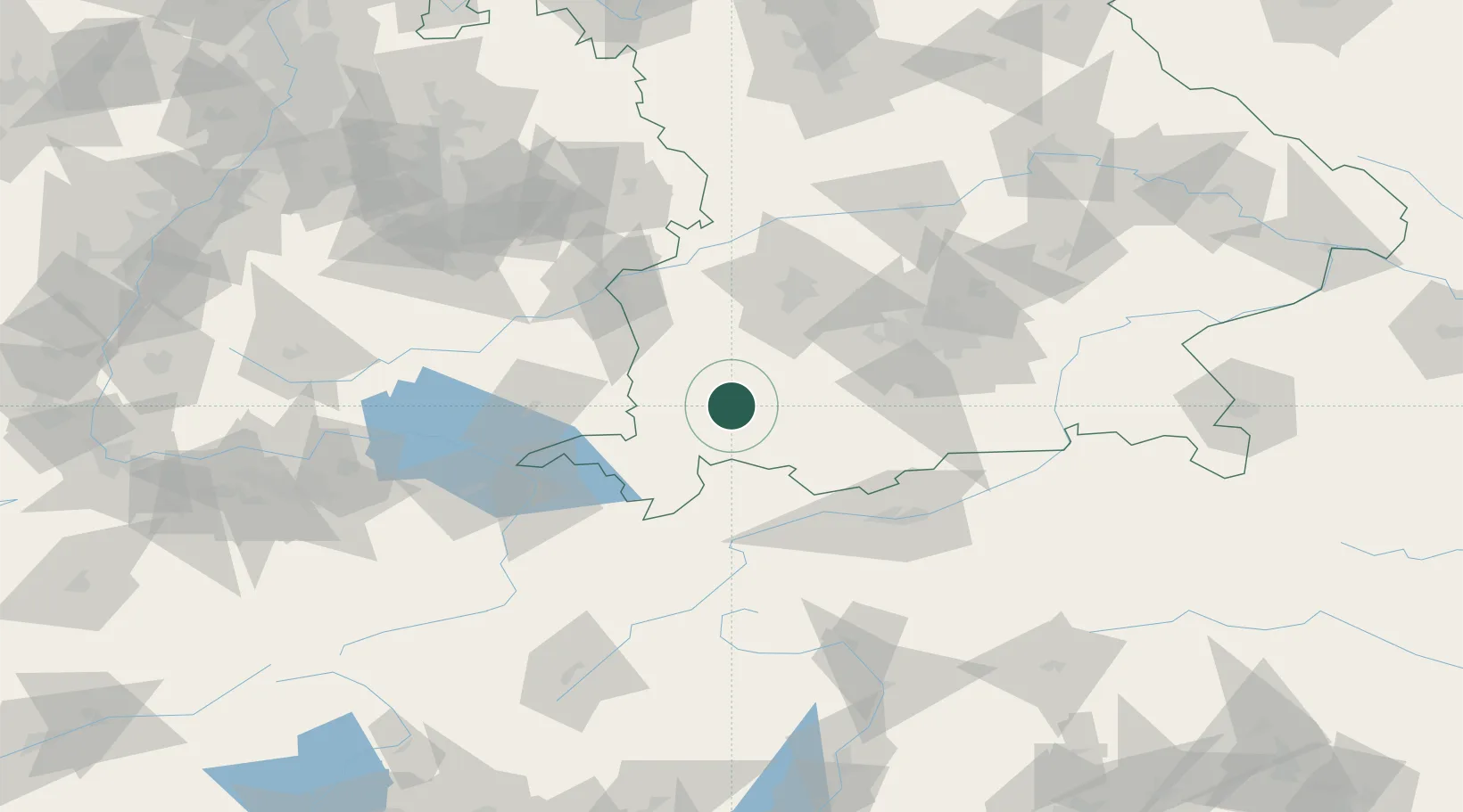
Nearby Logistics Neighbours

Cities
  1. 1Ebenhofen3 km
  2. 2Kaufbeuren8 km
  3. 3Guenzach11 km
  4. 4Eggenthal13 km
  5. 5Obergünzburg13 km
Nearest neighbours — logibook spatial index (haversine) over the source coordinates
Ports
  1. 1Nogaro302 km
  2. 2Porto Di Lido-Venezia302 km
  3. 3Grado314 km
  4. 4Porto Di Chioggia316 km
  5. 5Monfalcone320 km
Nearest neighbours — logibook spatial index (haversine) over the source coordinates
Airports
  1. 1Memmingen Allgau Airport32 km
  2. 2Lechfeld Air Base46 km
  3. 3Oberpfaffenhofen Airport60 km
  4. 4Laupheim Air Base67 km
  5. 5Augsburg Airport72 km
Nearest neighbours — logibook spatial index (haversine) over the source coordinates
Trade Zones
  1. 1Livigno Free Trade Zone147 km
  2. 2Freeport of Deggendorf206 km
  3. 3ZFU Neuhof224 km
  4. 4ZFU Hautepierre231 km
  5. 5ZFU Mulhouse243 km
Nearest neighbours — logibook spatial index (haversine) over the source coordinates
DatabookThe Record of Consolidated Knowledge
Germany beyond logistics?
Browse databook

All Sources

LocationsUN/LOCODE
UN/LOCODE — free
LocationsGeoNames
CC BY 4.0
Portsthe NGA World Port Index
Public domain (US gov)
AirportsOurAirports
Public domain
Trade Zonesthe World Bank SEZ database
CC BY 4.0
Trade ZonesOpen Zone Map
CC BY
← Germany locations