Transport Functions
Rail
Road
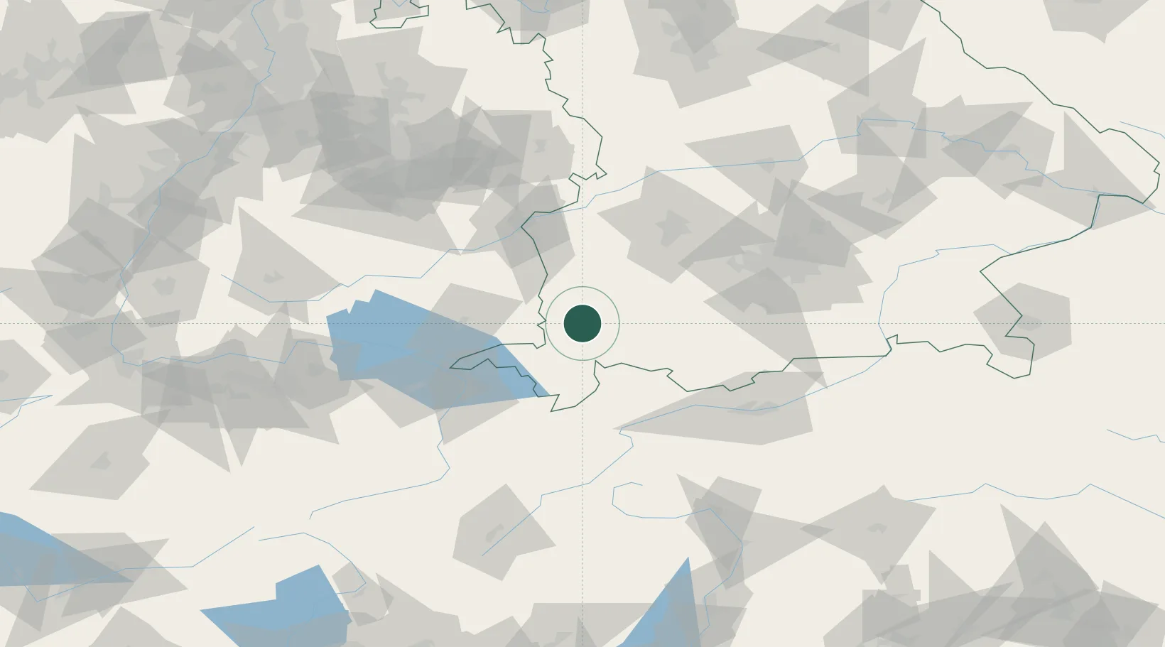
Hub Profile
Place type
Local administrative seat
Region
Bavaria
Population
3,634
Time zone
Europe/Berlin
Elevation
766 m
Location
Nearby Logistics Neighbours
Cities
- 1Lauben im Oberallgäu4 km
- 2Dietmannsried5 km
- 3Guenzach7 km
- 4Obergünzburg8 km
- 5Betzigau8 km
Ports
- 1Porto Di Lido-Venezia309 km
- 2Nogaro312 km
- 3Porto Di Chioggia322 km
- 4Grado324 km
- 5Monfalcone331 km
Airports
Trade Zones
- 1Livigno Free Trade Zone142 km
- 2ZFU Neuhof209 km
- 3ZFU Hautepierre216 km
- 4Freeport of Deggendorf222 km
- 5ZFU Mulhouse225 km
DatabookThe Record of Consolidated Knowledge
Germany beyond logistics?