Transport Functions
Road
Multimodal
Hub Profile
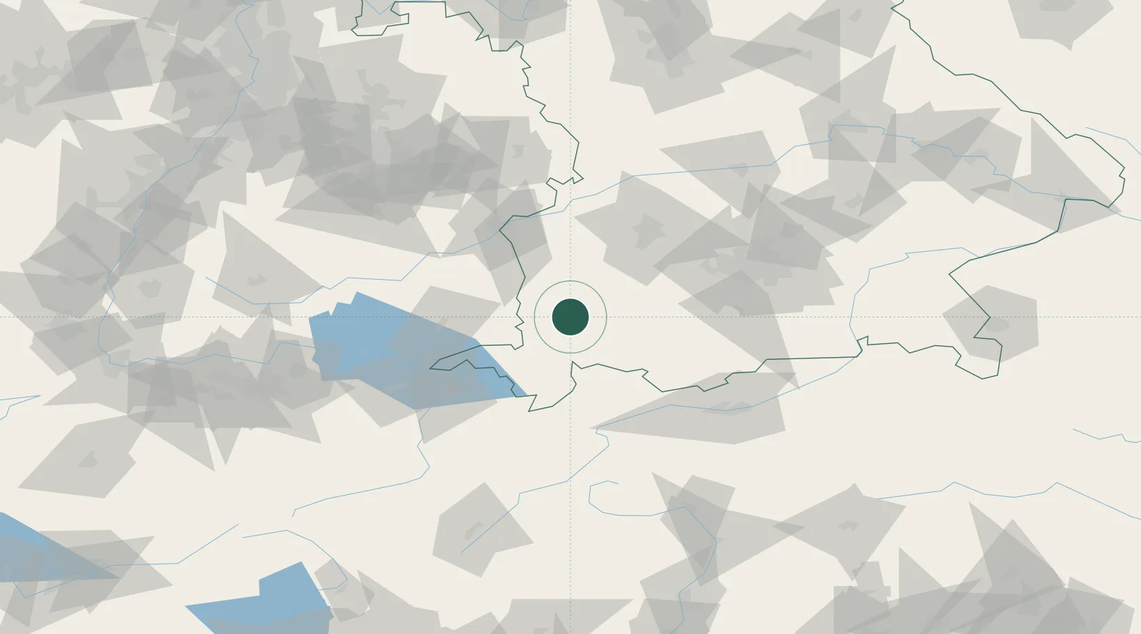
Place type
Populated place
Region
Bavaria
Population
6,424
Time zone
Europe/Berlin
Elevation
737 m
Location
Nearby Logistics Neighbours
Cities
- 1Guenzach4 km
- 2Haldenwang8 km
- 3Engetried9 km
- 4Eggenthal10 km
- 5Dietmannsried11 km
Ports
- 1Porto Di Lido-Venezia311 km
- 2Nogaro313 km
- 3Porto Di Chioggia325 km
- 4Grado325 km
- 5Monfalcone331 km
Airports
- 1Memmingen Allgau Airport20 km
- 2Lechfeld Air Base50 km
- 3Laupheim Air Base56 km
- 4Oberpfaffenhofen Airport70 km
- 5Bodensee Airport Friedrichshafen71 km
Trade Zones
- 1Livigno Free Trade Zone149 km
- 2ZFU Neuhof211 km
- 3Freeport of Deggendorf215 km
- 4ZFU Hautepierre218 km
- 5ZFU Mulhouse230 km
DatabookThe Record of Consolidated Knowledge
Germany beyond logistics?