Transport Functions
Rail
Road
Multimodal
Hub Profile
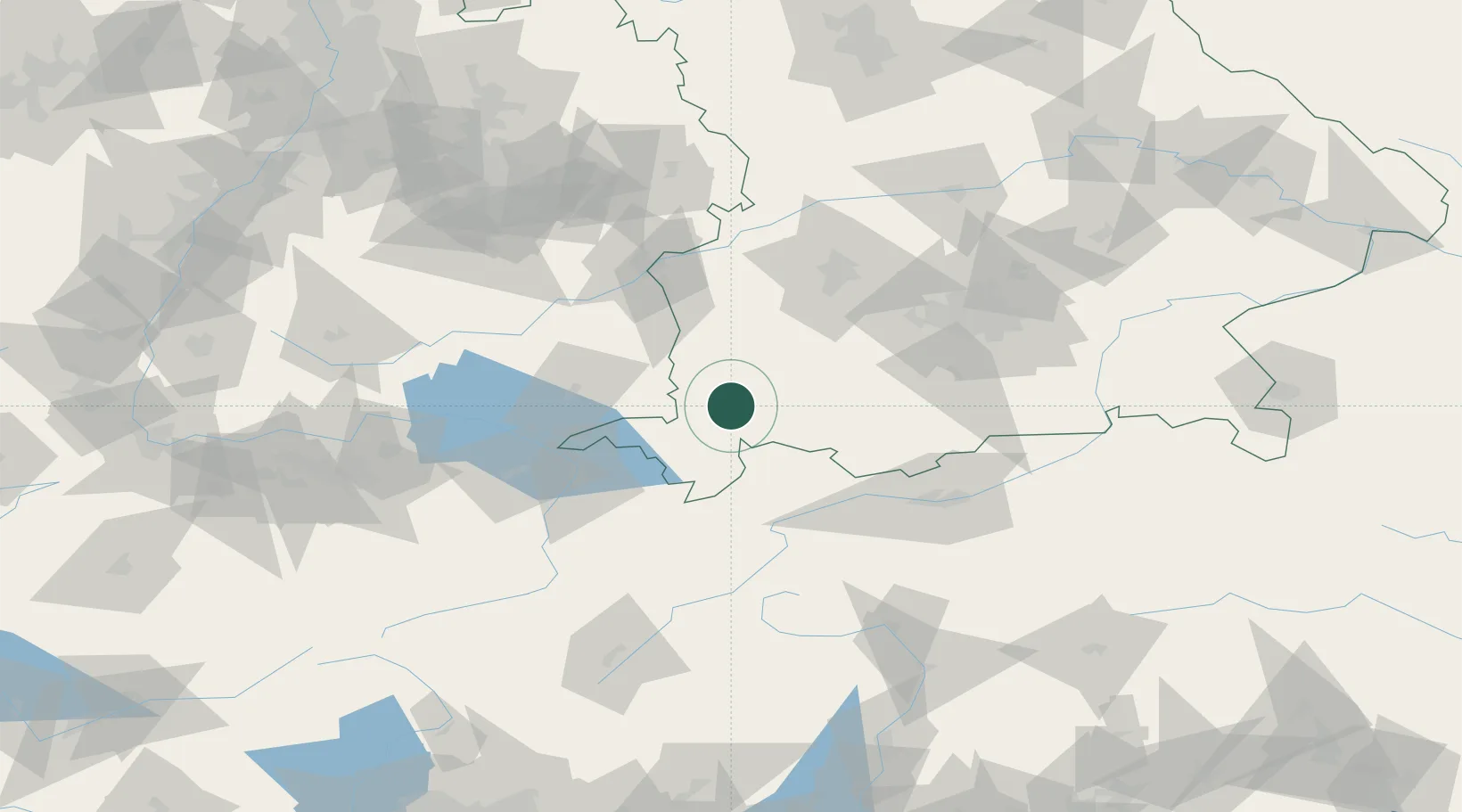
Place type
Local administrative seat
Region
Bavaria
Population
2,848
Time zone
Europe/Berlin
Elevation
737 m
Location
Nearby Logistics Neighbours
Cities
- 1Haldenwang8 km
- 2Sulzberg8 km
- 3Lauben im Oberallgäu8 km
- 4Ermengerst9 km
- 5Guenzach10 km
Ports
- 1Porto Di Lido-Venezia302 km
- 2Nogaro305 km
- 3Porto Di Chioggia314 km
- 4Grado317 km
- 5Monfalcone324 km
Airports
Trade Zones
- 1Livigno Free Trade Zone135 km
- 2ZFU Neuhof214 km
- 3ZFU Hautepierre221 km
- 4Freeport of Deggendorf224 km
- 5ZFU Mulhouse228 km
DatabookThe Record of Consolidated Knowledge
Germany beyond logistics?