UN/LOCODE hub · Germany
DEZHC
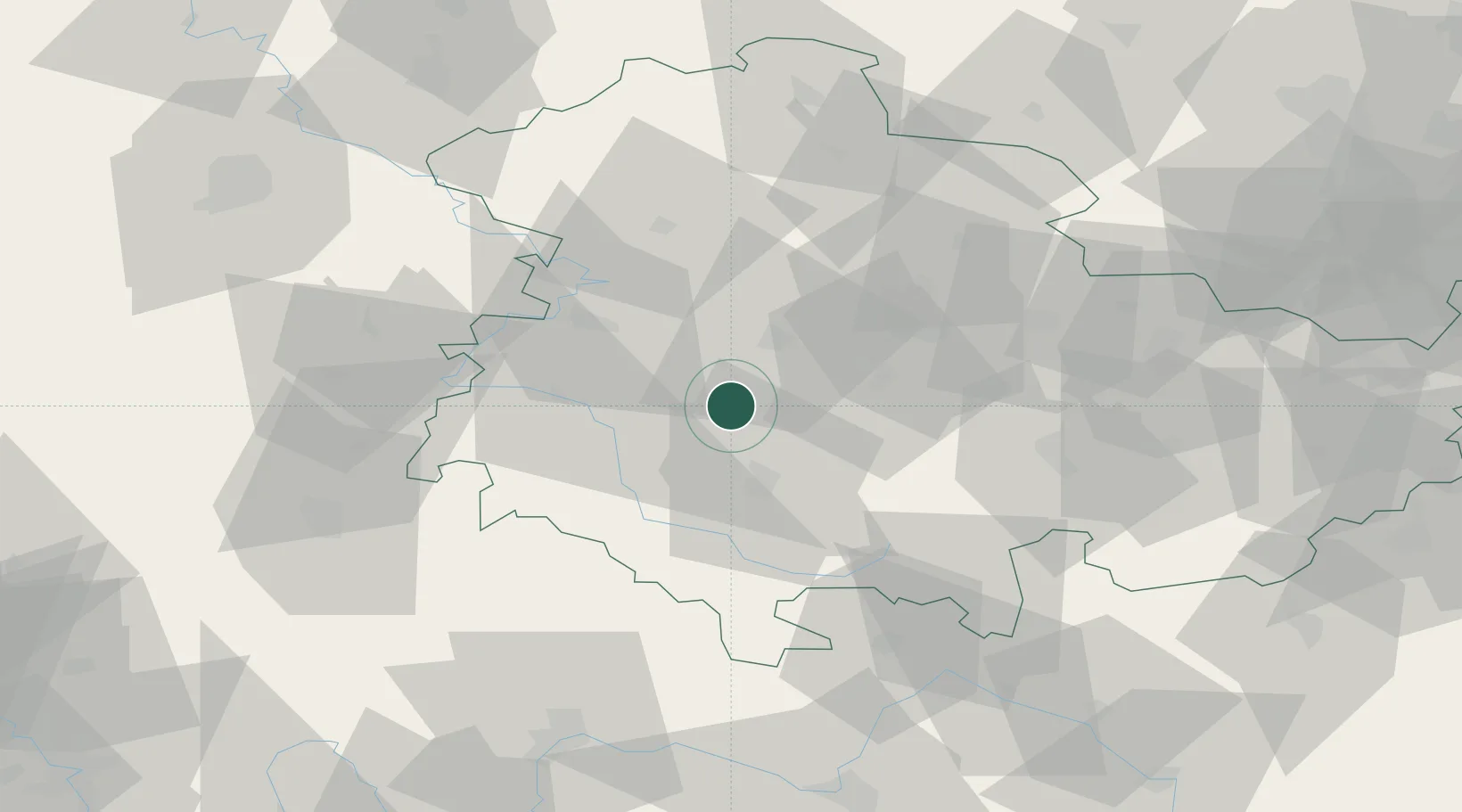
Tambach-Dietharz
50.8000°, 10.6167°
4,354
Population
1
Transport functions
Transport Functions
Multimodal
Hub Profile
Place type
Populated place
Region
Thuringia
Population
4,354
Time zone
Europe/Berlin
Elevation
458 m
Location
Nearby Logistics Neighbours
Cities
- 1Georgenthal4 km
- 2Friedrichroda8 km
- 3Floh-Seligenthal11 km
- 4Leina11 km
- 5Leinatal11 km
Airports
- 1Eisenach-Kindel Airport23 km
- 2Erfurt-Weimar Airport31 km
- 3Fritzlar Army Airfield100 km
- 4Bamberg-Breitenau Airfield100 km
- 5Hof-Plauen Airport104 km
Trade Zones
DatabookThe Record of Consolidated Knowledge
Germany beyond logistics?