Transport Functions
Port
Rail
Road
Hub Profile
Place type
Populated place
Region
Thuringia
Time zone
Europe/Berlin
Elevation
317 m
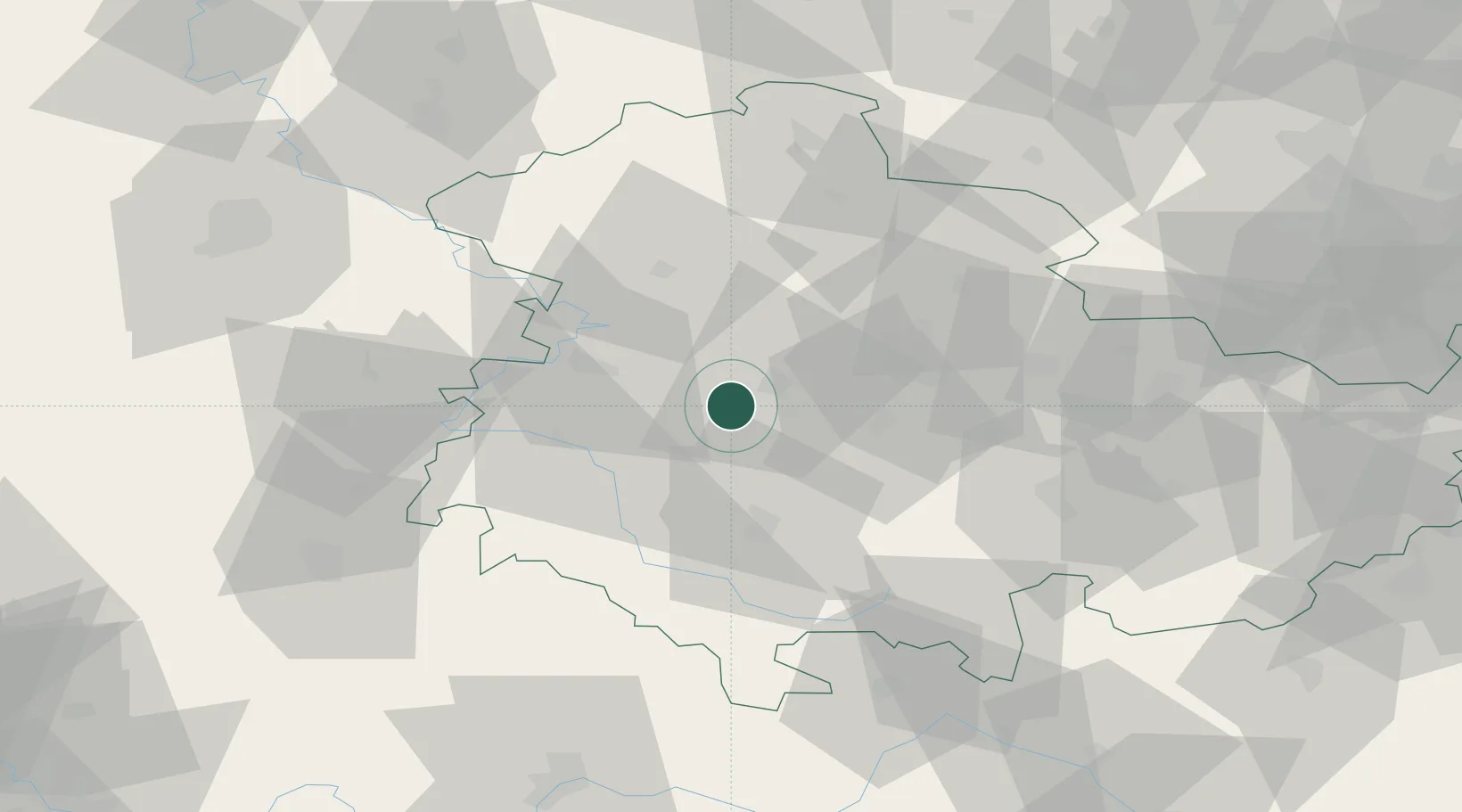
Location
Nearby Logistics Neighbours
Cities
- 1Leinatal1 km
- 2Waltershausen4 km
- 3Friedrichroda5 km
- 4Georgenthal10 km
- 5Tambach-Dietharz11 km
Airports
- 1Eisenach-Kindel Airport14 km
- 2Erfurt-Weimar Airport26 km
- 3Fritzlar Army Airfield96 km
- 4Kassel Airport103 km
- 5Hof-Plauen Airport111 km
Trade Zones
DatabookThe Record of Consolidated Knowledge
Germany beyond logistics?