Transport Functions
Port
Multimodal
Hub Profile
Region
TH
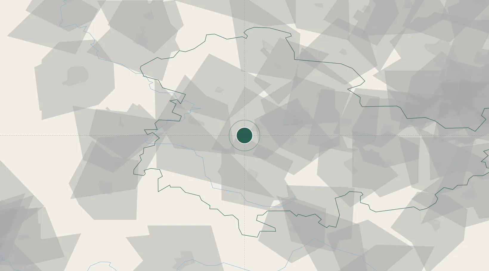
Location
Nearby Logistics Neighbours
Cities
- 1Leina1 km
- 2Waltershausen5 km
- 3Friedrichroda6 km
- 4Georgenthal10 km
- 5Tambach-Dietharz11 km
Airports
- 1Eisenach-Kindel Airport15 km
- 2Erfurt-Weimar Airport25 km
- 3Fritzlar Army Airfield97 km
- 4Kassel Airport104 km
- 5Hof-Plauen Airport110 km
Trade Zones
DatabookThe Record of Consolidated Knowledge
Germany beyond logistics?