Transport Functions
Multimodal
Hub Profile
Place type
Populated place
Region
Thuringia
Population
2,649
Time zone
Europe/Berlin
Elevation
383 m
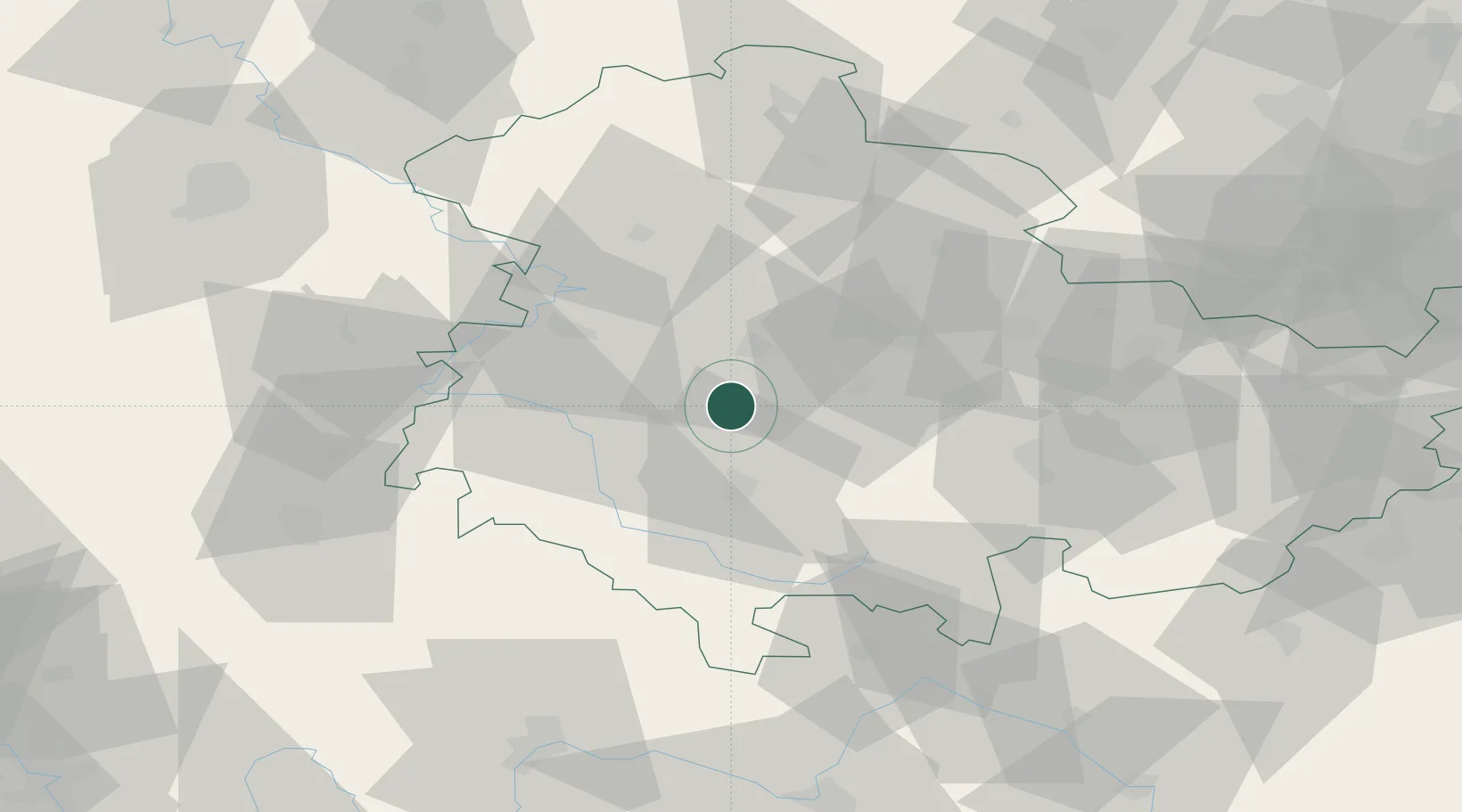
Location
Nearby Logistics Neighbours
Cities
- 1Tambach-Dietharz4 km
- 2Friedrichroda9 km
- 3Leinatal10 km
- 4Leina10 km
- 5Waltershausen12 km
Airports
- 1Eisenach-Kindel Airport24 km
- 2Erfurt-Weimar Airport27 km
- 3Bamberg-Breitenau Airfield101 km
- 4Fritzlar Army Airfield102 km
- 5Hof-Plauen Airport102 km
Trade Zones
DatabookThe Record of Consolidated Knowledge
Germany beyond logistics?