Transport Functions
Multimodal
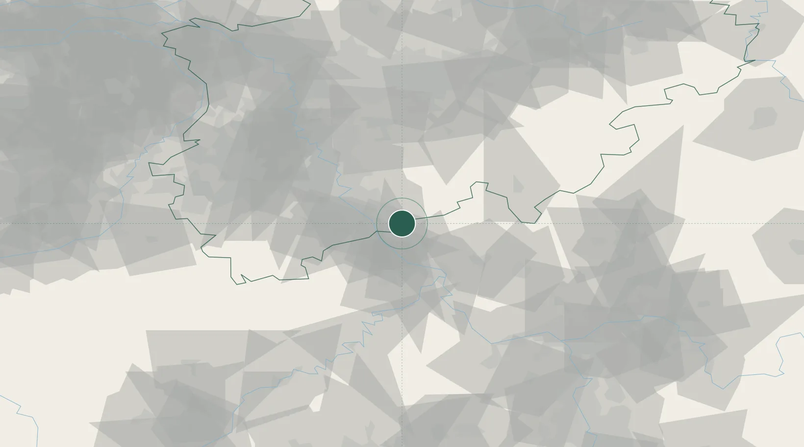
Hub Profile
Place type
Populated place
Region
North Rhine-Westphalia
Time zone
Europe/Berlin
Elevation
240 m
Location
Nearby Logistics Neighbours
Cities
- 1Rettersen11 km
- 2Niederdollendorf12 km
- 3Peterslahr12 km
- 4Unkel13 km
- 5Linz am Rhein14 km
Airports
- 1Cologne Bonn Airport25 km
- 2Nörvenich Air Base51 km
- 3Siegerland Airport52 km
- 4Büchel Air Base60 km
- 5Düsseldorf Airport79 km
Trade Zones
- 1Rheinische Revier SWZ73 km
- 2Freeport of Duisburg100 km
- 3Luxembourg Free Port141 km
- 4ZFU La Cité Behren-lès-Forbach171 km
- 5ZFU Woippy-Metz191 km
DatabookThe Record of Consolidated Knowledge
Germany beyond logistics?