Transport Functions
Port
Rail
Road
Multimodal
Hub Profile
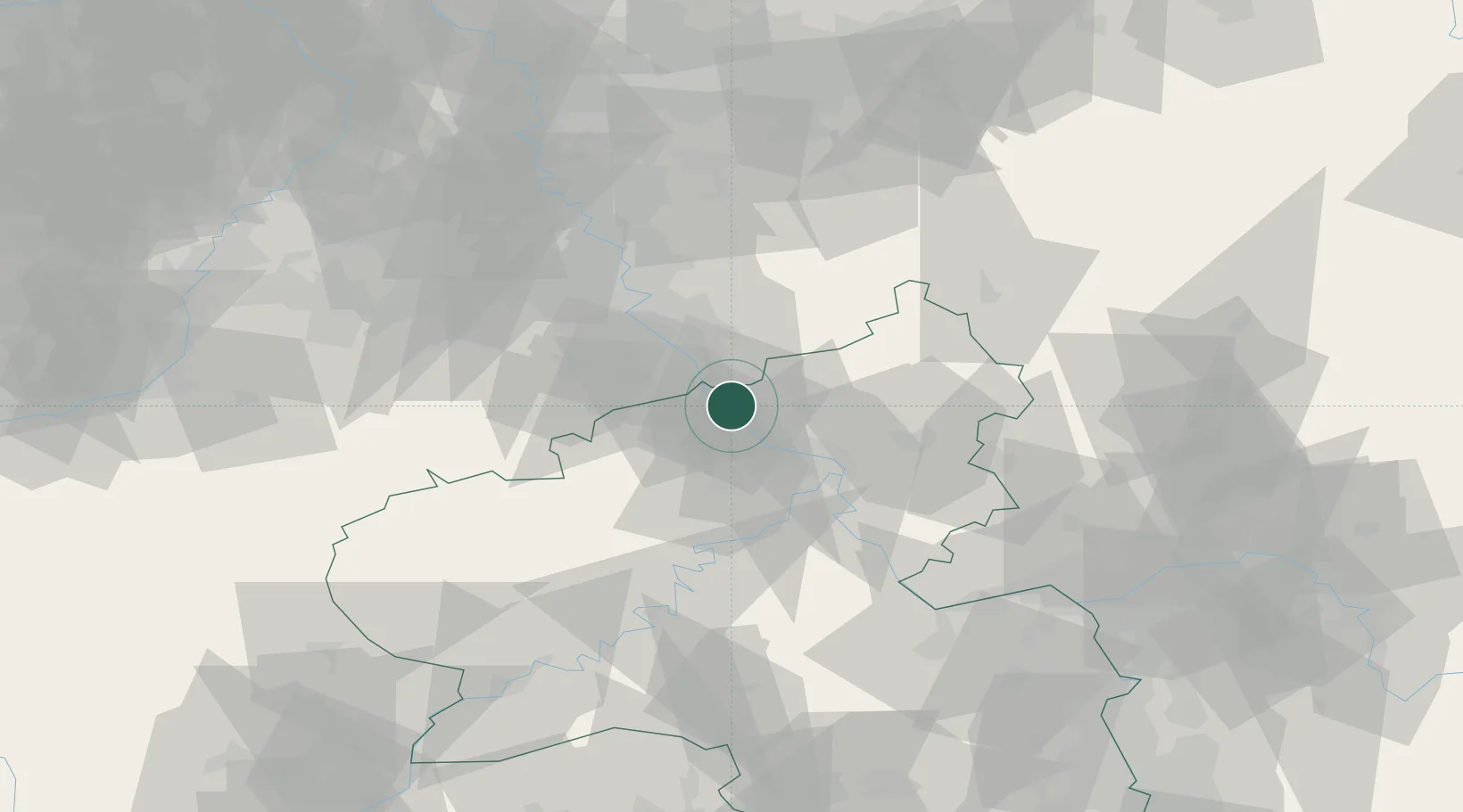
Place type
Populated place
Region
Rheinland-Pfalz
Population
6,008
Time zone
Europe/Berlin
Elevation
75 m
Location
Nearby Logistics Neighbours
Cities
- 1Unkel6 km
- 2Oberwinter7 km
- 3Niederzissen12 km
- 4Burgbrohl13 km
- 5Fritzdorf14 km
Airports
- 1Cologne Bonn Airport35 km
- 2Büchel Air Base46 km
- 3Nörvenich Air Base53 km
- 4Siegerland Airport59 km
- 5Frankfurt-Hahn Airport69 km
Trade Zones
- 1Rheinische Revier SWZ74 km
- 2Freeport of Duisburg109 km
- 3Luxembourg Free Port128 km
- 4ZFU La Cité Behren-lès-Forbach158 km
- 5ZFU Woippy-Metz177 km
DatabookThe Record of Consolidated Knowledge
Germany beyond logistics?