Transport Functions
Port
Rail
Road
Hub Profile
Place type
Populated place
Region
North Rhine-Westphalia
Time zone
Europe/Berlin
Elevation
59 m
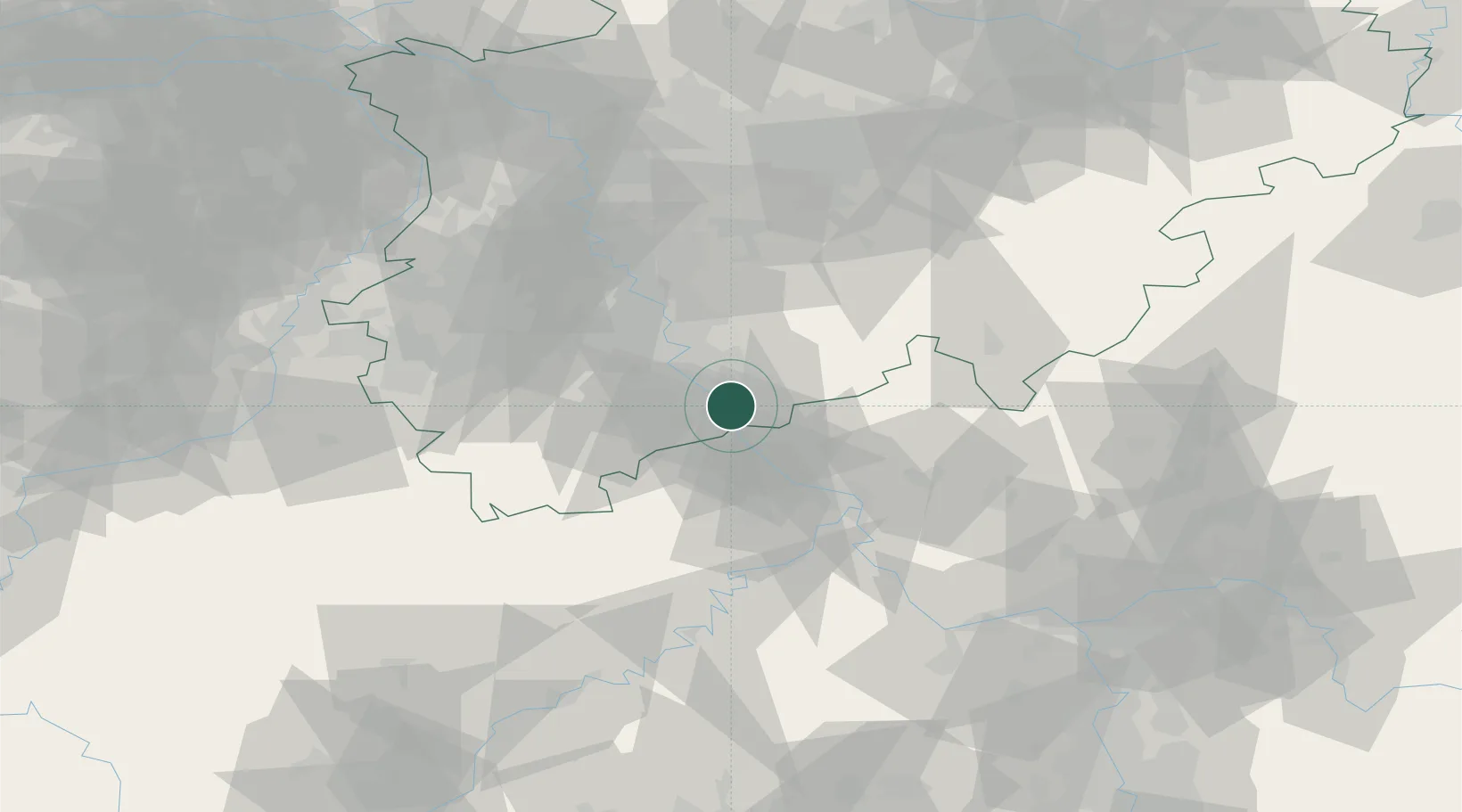
Location
Nearby Logistics Neighbours
Cities
- 1Sankt Augustin7 km
- 2Bonn9 km
- 3Grau Rheindorf10 km
- 4Oberwinter11 km
- 5Friedrich-Wilhelmshutte11 km
Airports
- 1Cologne Bonn Airport19 km
- 2Nörvenich Air Base40 km
- 3Büchel Air Base59 km
- 4Siegerland Airport63 km
- 5Düsseldorf Airport72 km
Trade Zones
- 1Rheinische Revier SWZ61 km
- 2Freeport of Duisburg93 km
- 3Luxembourg Free Port136 km
- 4ZFU La Cité Behren-lès-Forbach171 km
- 5ZFU Woippy-Metz188 km
DatabookThe Record of Consolidated Knowledge
Germany beyond logistics?