Transport Functions
Road
Multimodal
Hub Profile
Region
BY
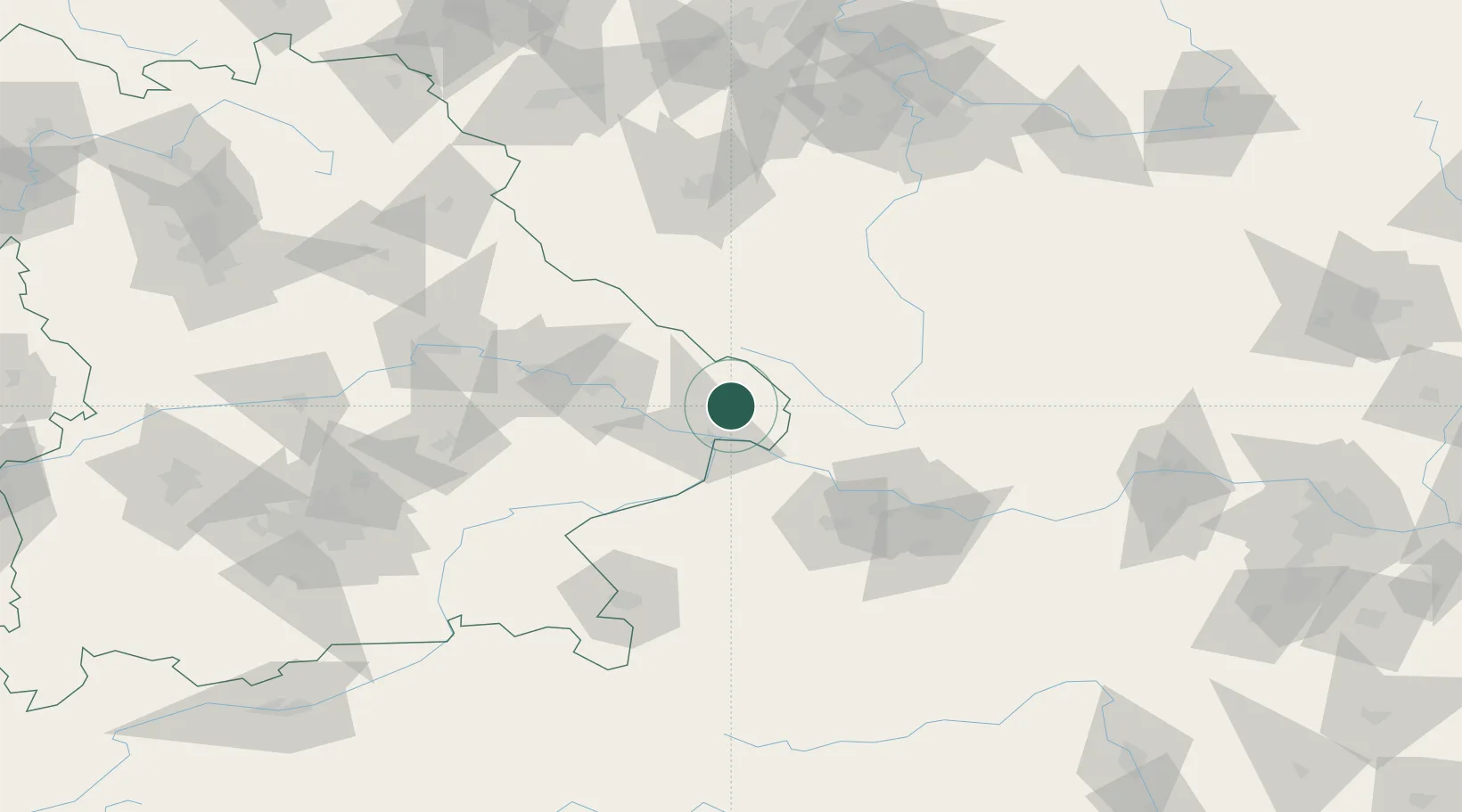
Location
Nearby Logistics Neighbours
Cities
- 1Falkenstein4 km
- 2Freyung8 km
- 3Hutthurm8 km
- 4Ruderting13 km
- 5Salzweg14 km
Ports
- 1Monfalcone328 km
- 2Nogaro332 km
- 3Grado338 km
- 4Trieste343 km
- 5Muggia349 km
Airports
- 1České Budějovice South Bohemian Airport70 km
- 2Linz-Hörsching Airport74 km
- 3Plzeň-Líně Airport106 km
- 4Salzburg Airport112 km
- 5Landshut Airfield113 km
Trade Zones
DatabookThe Record of Consolidated Knowledge
Germany beyond logistics?